Day 16 Seward (July 21st)

Finally a sunny day!! The hiking group headed out around 8:00am. I stayed back and just chilled for a few hours and then visited the Sea Life Center. After lots of cajoling, Alan finally agreed to do this last day of hiking in Kenai Fjords National Park on the Harding Ice Field Trail, which is adjacent to Exit Glacier. As we left the Seward area, we made one last stop at the Bear Creek Weir. We saw a few salmon climbing a fish ladder. It was the tail end of the spawning season, so there were very few. We concluded the hiking tour with a group dinner at South Restaurant in Anchorage.

Harding Ice Field and Exit Glacier

The Bear Creek Weir. A weir is a damn-like structure built across a stream of river. Historically there have been few wild red salmon in Resurrection Bay, therefore, this weir is used to harvest red salmon eggs/sperm. The subsequent fry are hatchery raised and introduced into local waters.

Our guide Drew and I comparing his tattoos to my boot 😊

Good night Alaska…until next time.

Day 15 Kenai Fjords National Park/Seward (July 20th)

The morning was slow start since I was unable to do the day’s hike. Alan and I booked a boat tour of the Kensington Fjords National Park that started at 11:30am and lasted six hours. The temperature was never more than 54 degrees and with the wind on the boat ride, it was down right cold! We were apprehensive because we had done a whale watching tour in Juneau and we didn’t get that close to the wildlife. Our worries quickly subsided as we witnessed Orcas surfacing within a better viewing distance than in Juneau. The views continued to be spectacular. We saw puffins, sea lions, harbor seals, humpback whales, dall porpoises, common murres, a black bear and the Holgate Glacier. The glacier was close enough to hear it cracking. Although we didn’t hike, it was a great day capped off with a fish and chips dinner at Miller’s Landing.

The humpbacks are on the right side of the photo and are bubble-net feeding. That is when a group of whales swim in a circle, blowing bubbles from their blowholes to create a "net" that encircles a school of fish or krill. The bubbles trap the prey, pushing them upward toward the surface, where the whales then lunge through the bubble net with their mouths open to feed. It was a unique display to witness; the gulls circled

At least five distinct humpbacks blowing out air.

Puffins can be seen in the middle of the picture on the rock ledges.

Stellar sea lions resting at their haulout.

Black bear on the shoreline.

One of several glaciers seen from the boat.

Holgate Glacier, a tidewater glacier, is 5.3 miles long and reaches up to 500 feet above sea level.

Harbor seals “chilling” along the waters edge.

A fish cleaning operation just outside the restaurant where we had dinner.

Day 14 Homer to Seward (July 19th)

Today was different. The other four people in the tour went for a morning hike after breakfast. I stayed back with Alan and I iced my ankle. We did see sea otters swimming in the water outside our room. After the group’s morning hike, we took another water taxi back to Homer. Alan and I were taken to an emergency room to have my ankle checked out, while the rest of the group explored the Homer Spit. The Spit is a 4.5-mile natural land formation in Homer, Alaska, that juts into Kachemak Bay. It has many gift shops, outfitters, fishing boats, restaurants and more. My ankle was diagnosed with a severe sprain and a small fracture. The fracture was likely caused by a ligament in my foot pulling at the bone it is attached to. I need to wear a “boot” and follow up with my doctor at home. The ER doctor didn’t foresee that additional intervention would be needed. We all got back together and went to dinner in Soldotna at Addie Camp (an old rail car). Following dinner we shuttled via van to Seward. The overnight accommodations were yurts at the Nauti Otter.

Sea otter floating/swimming by our cabin.

Leaving the Homer Spit.

Dinner location. We were not in the rail car; we were in the section on the right.

Community Kitchen in which everyone brings their own food and shares the cooking area.

Directions to each yurt.

We were at the Puffin Pad.

Anchor Point Post Office.

Homer Post Office

Day 13 - Kachemak Bay (July 18th)

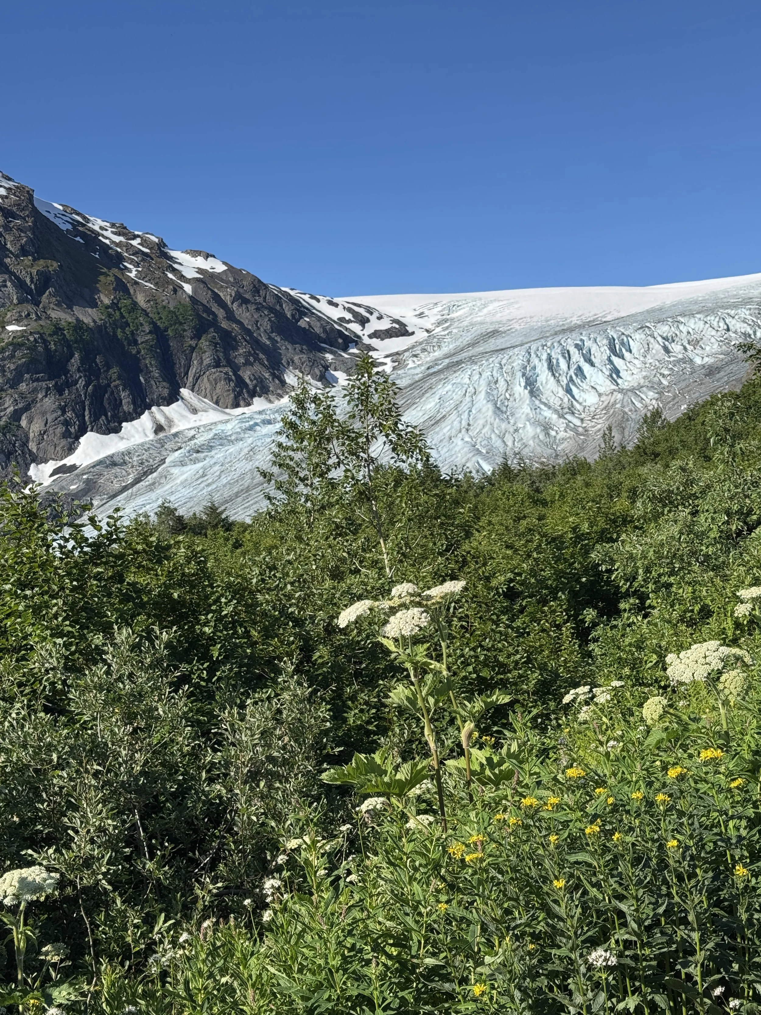
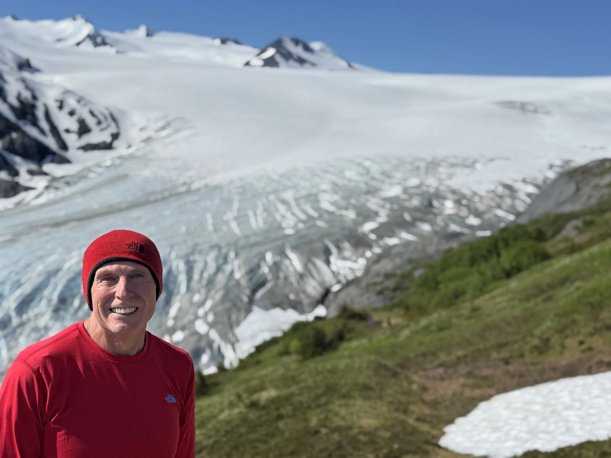
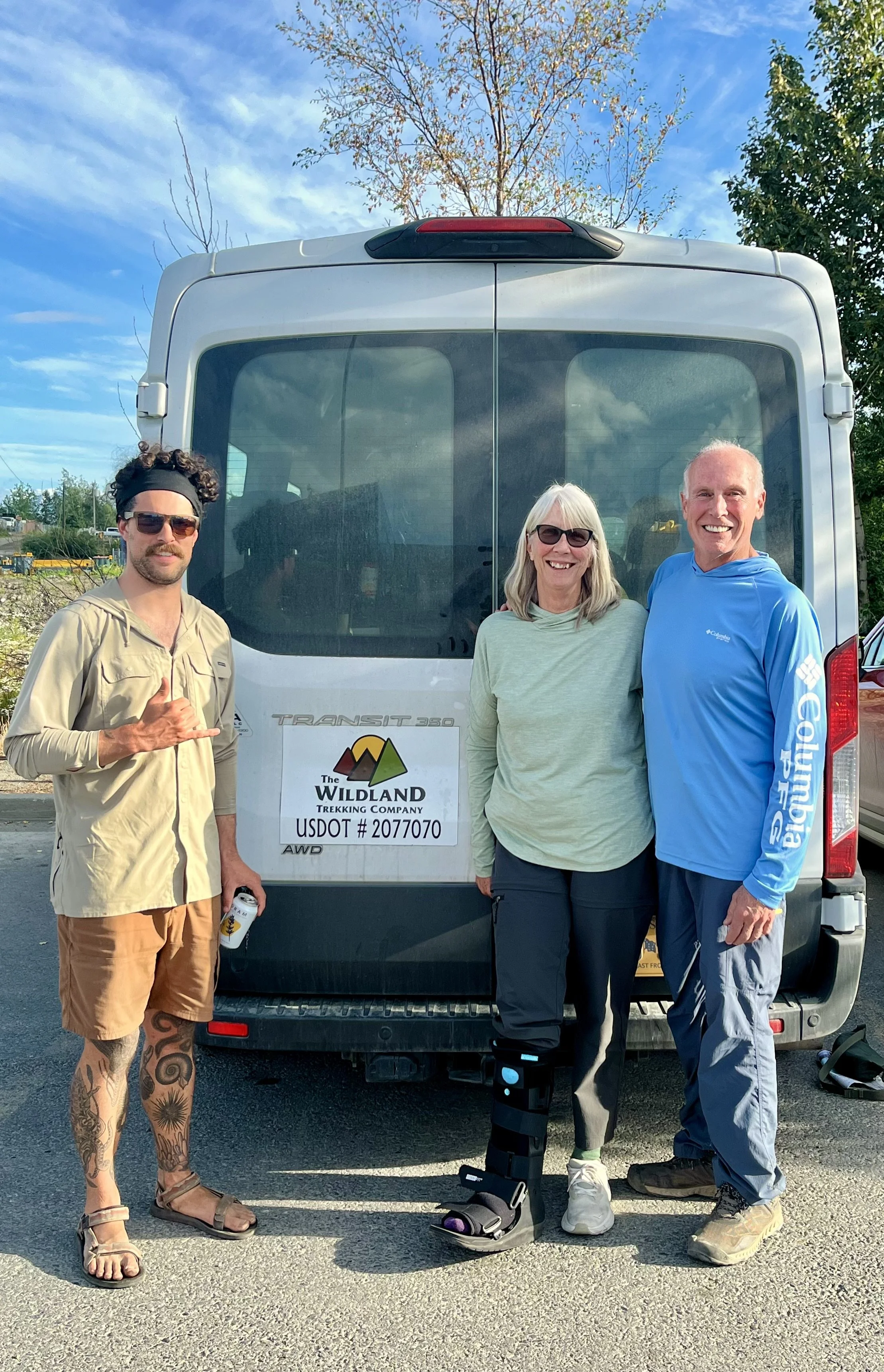
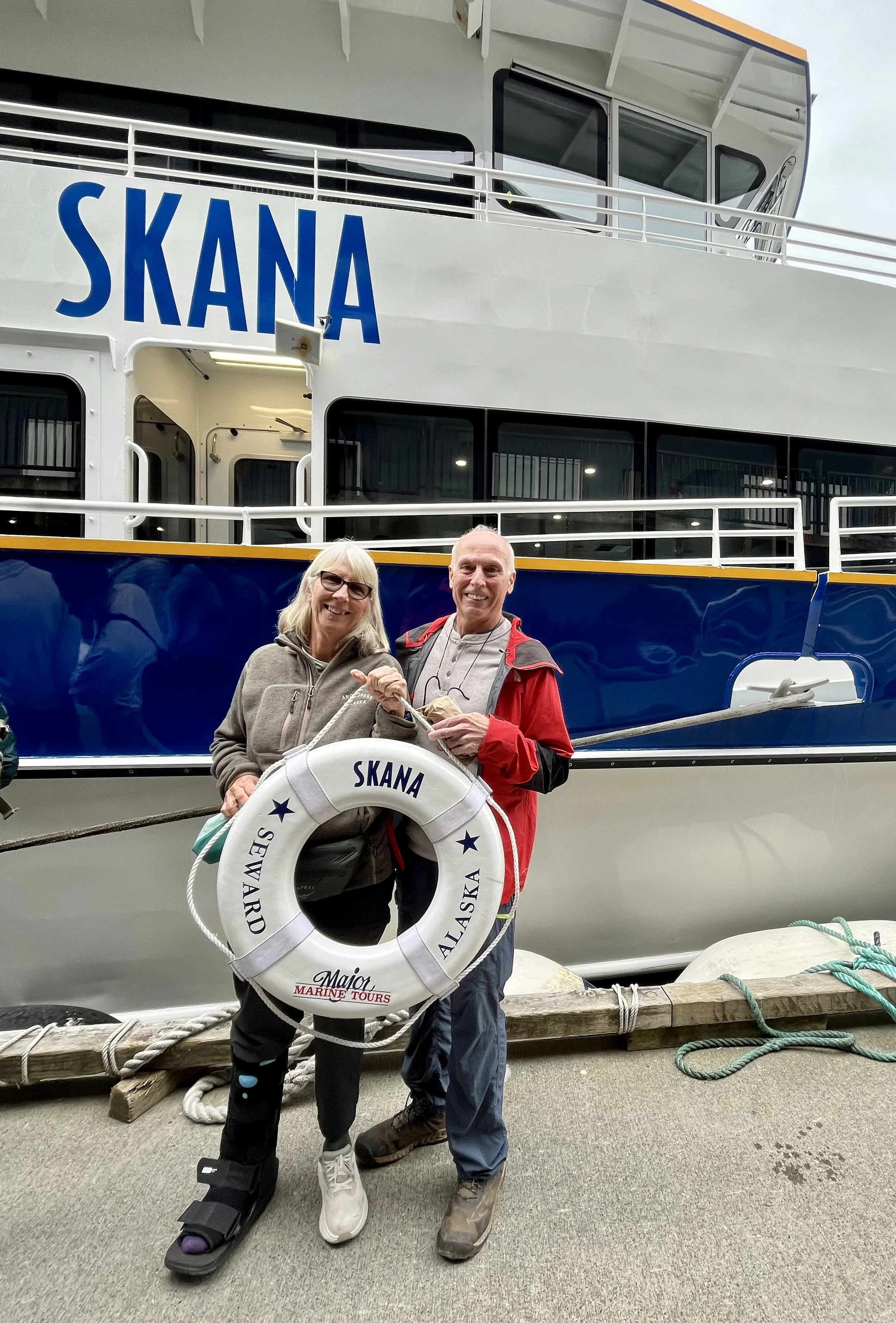
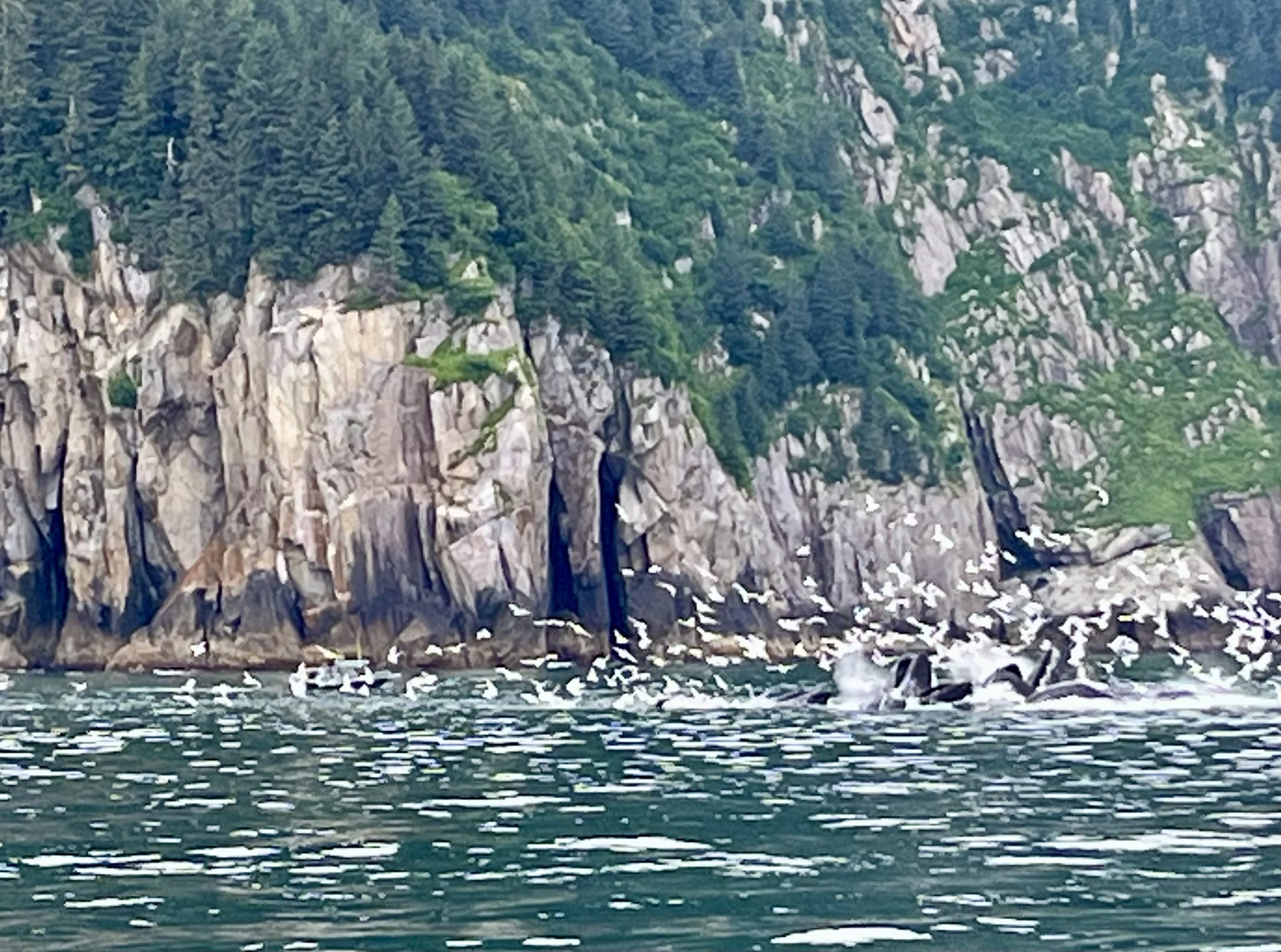
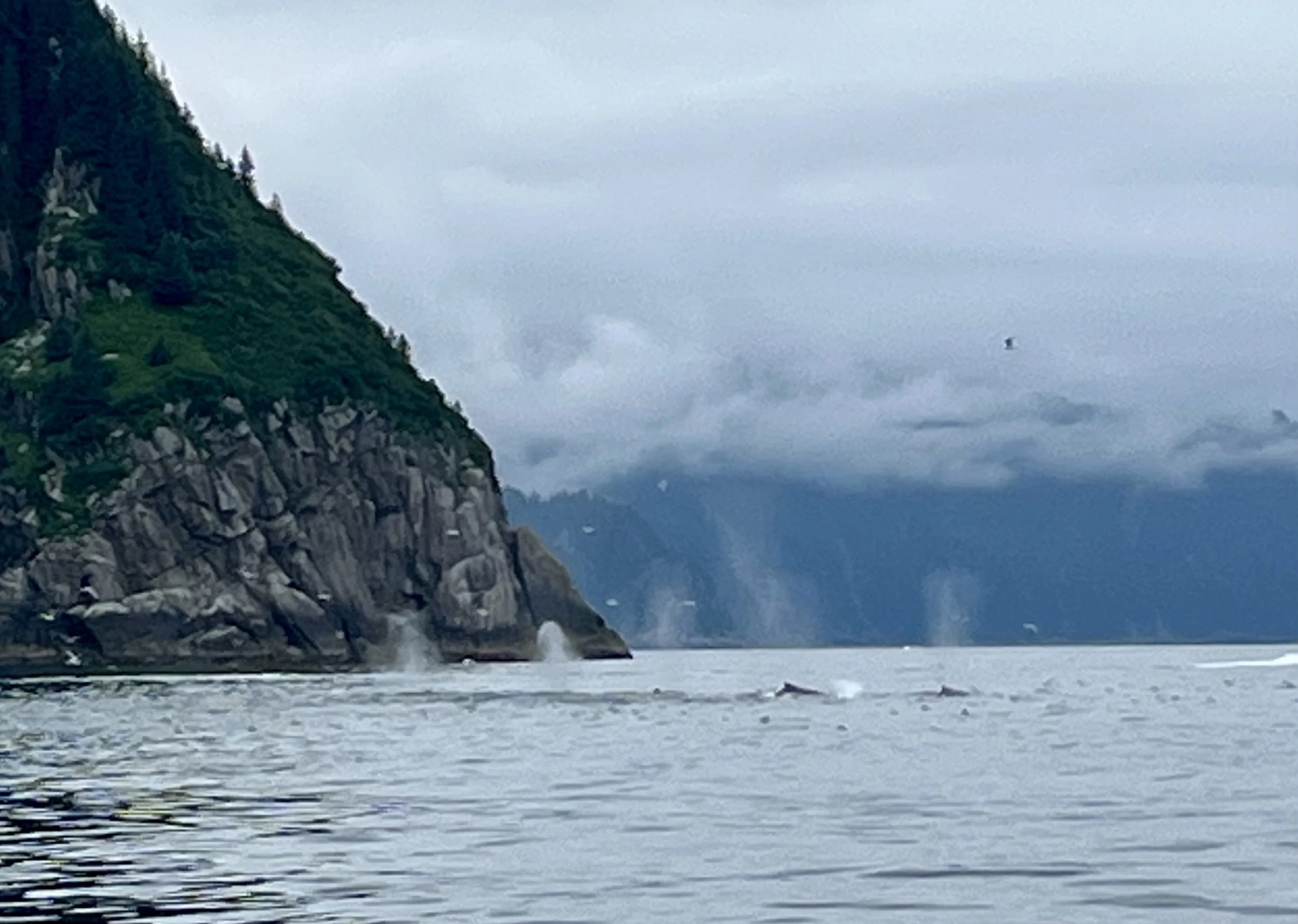
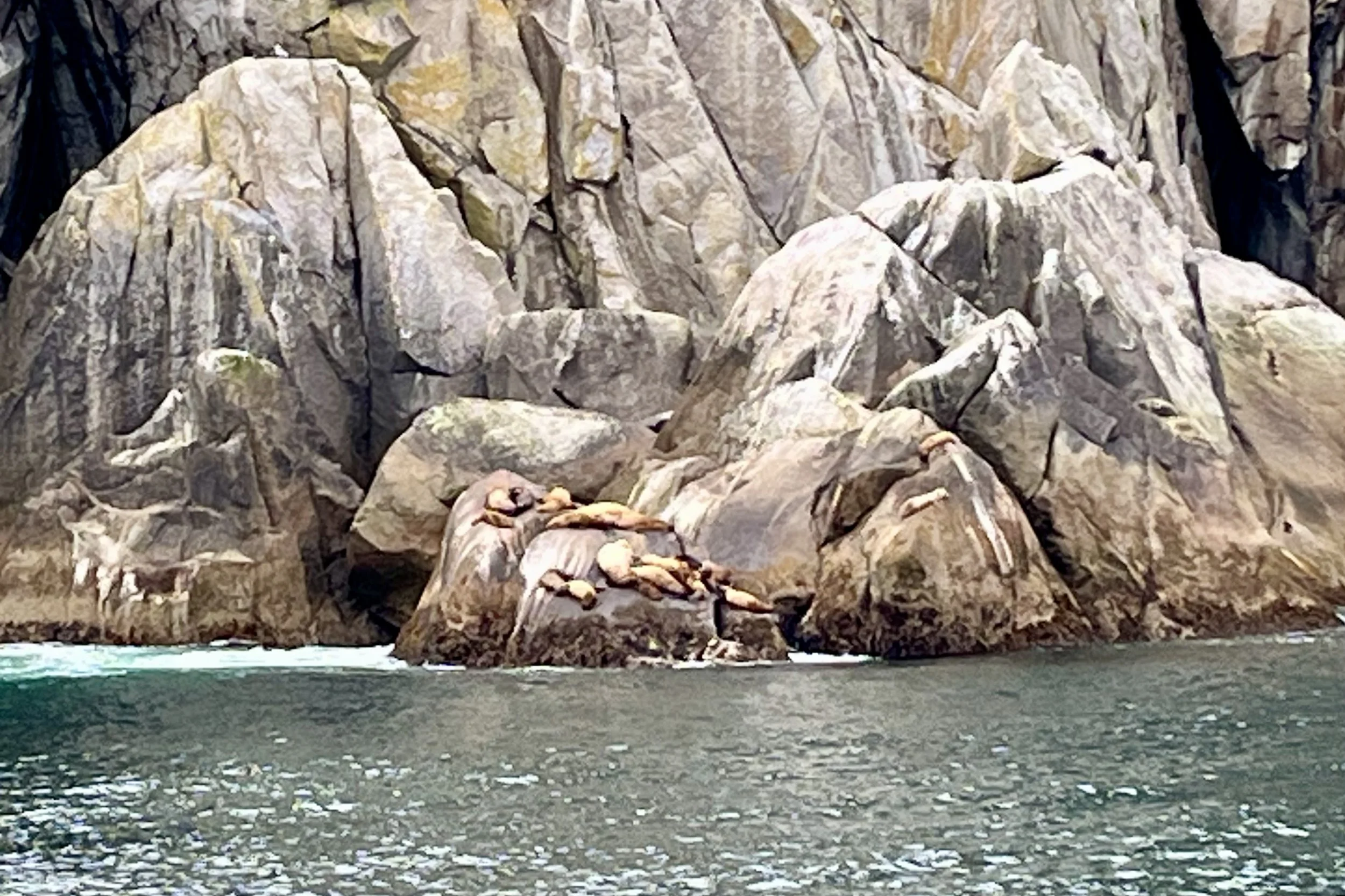
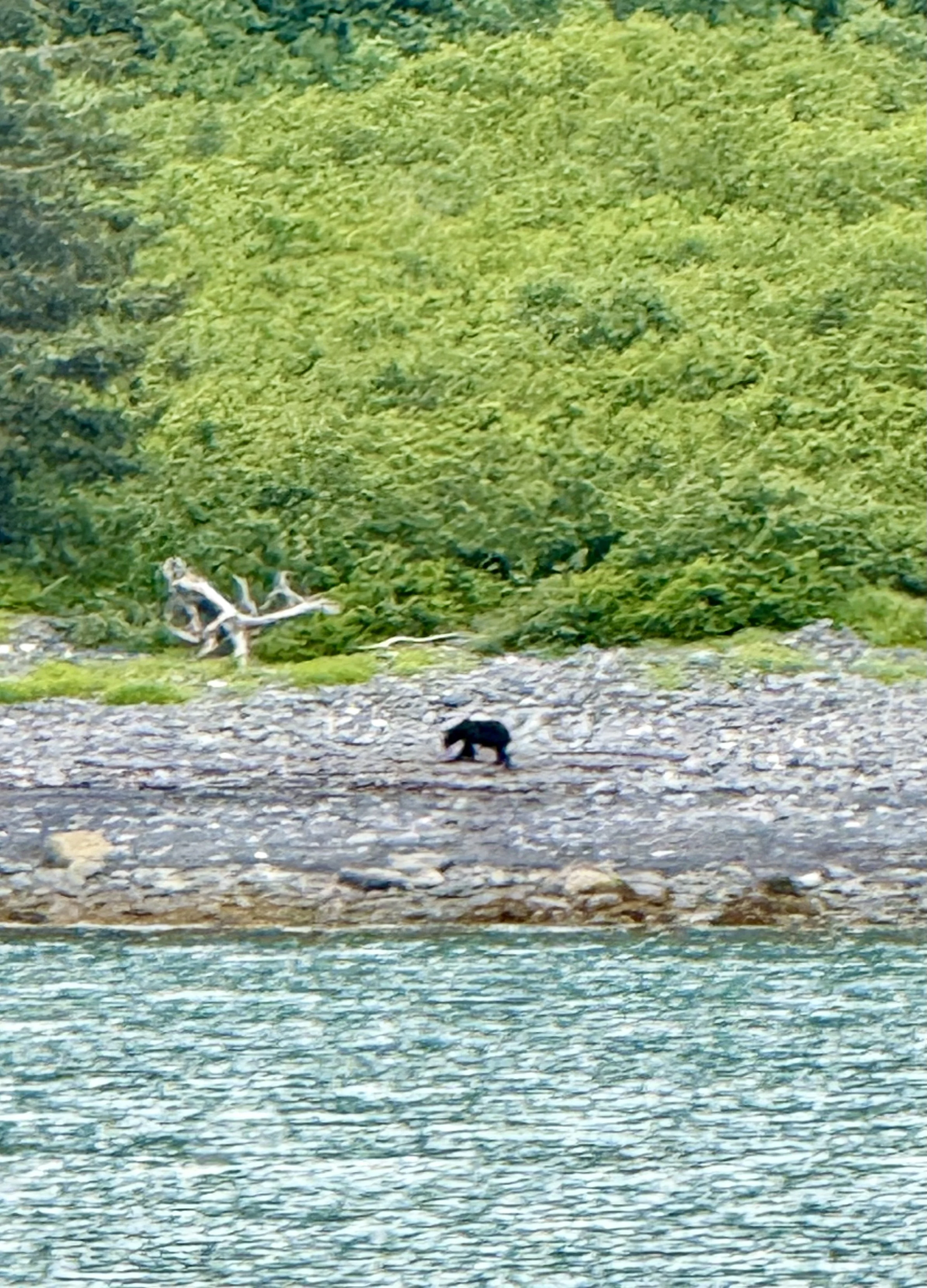
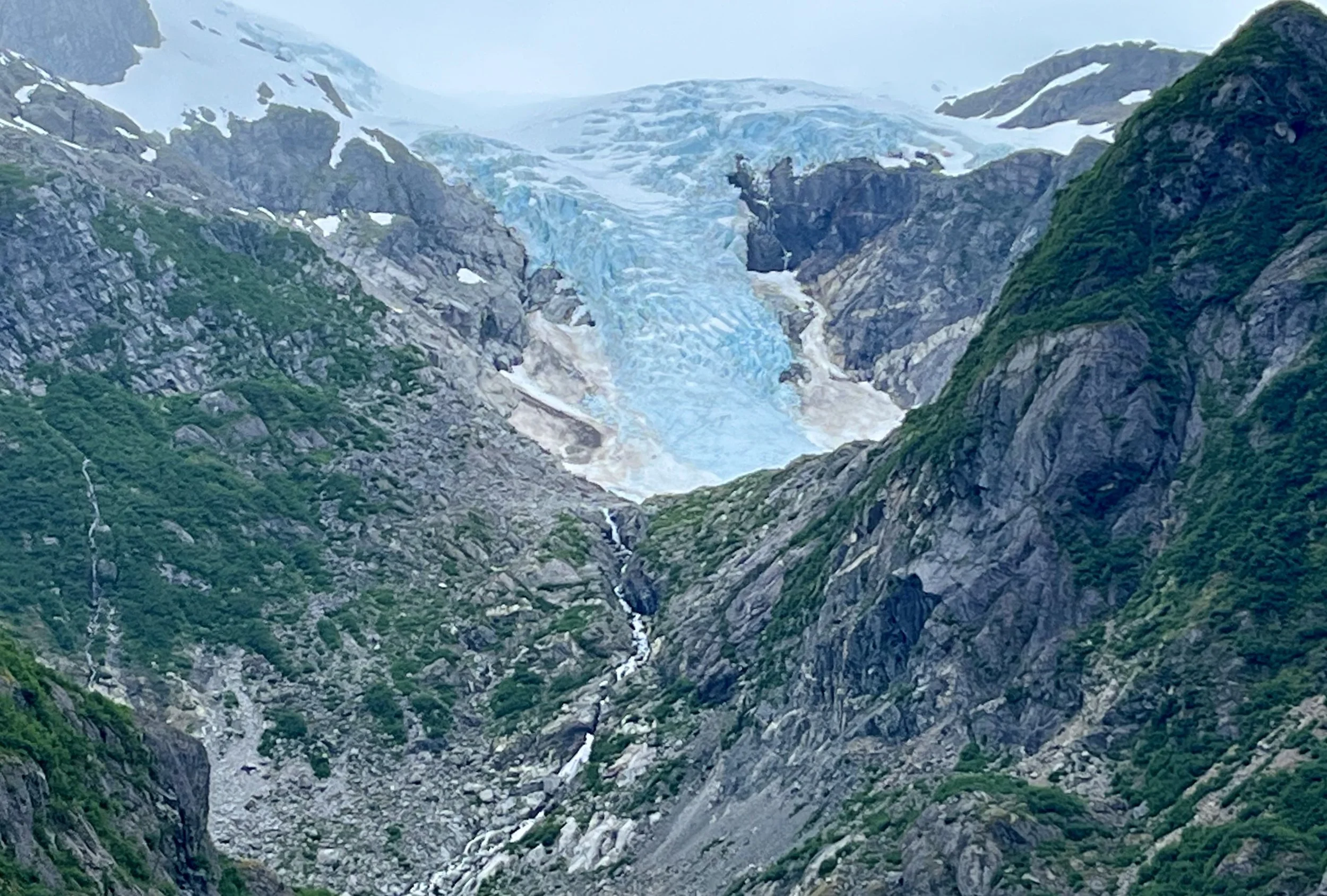
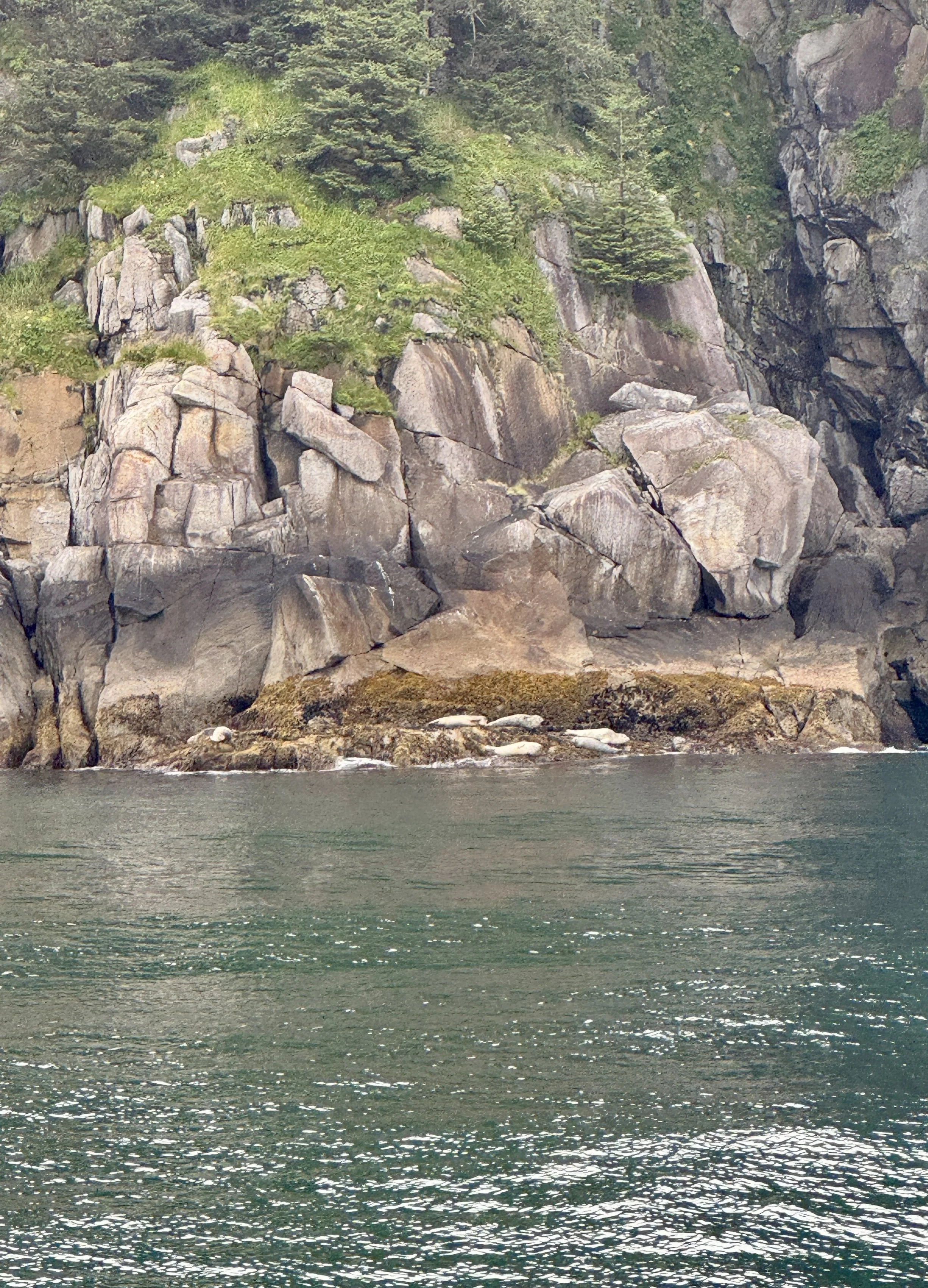
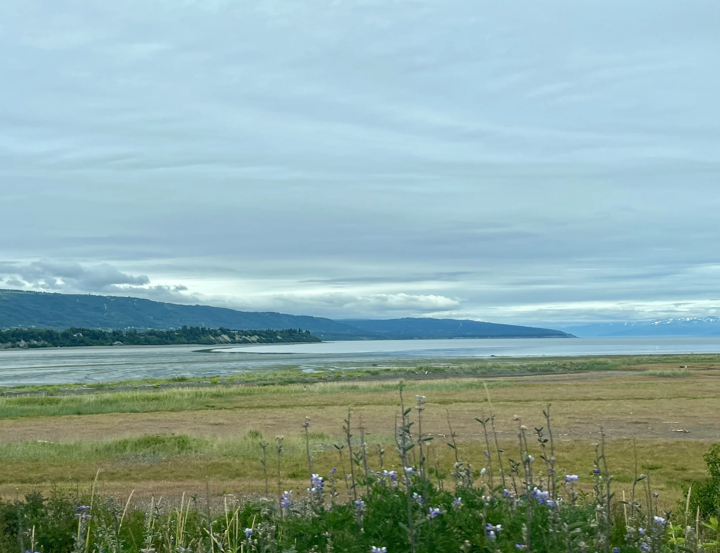
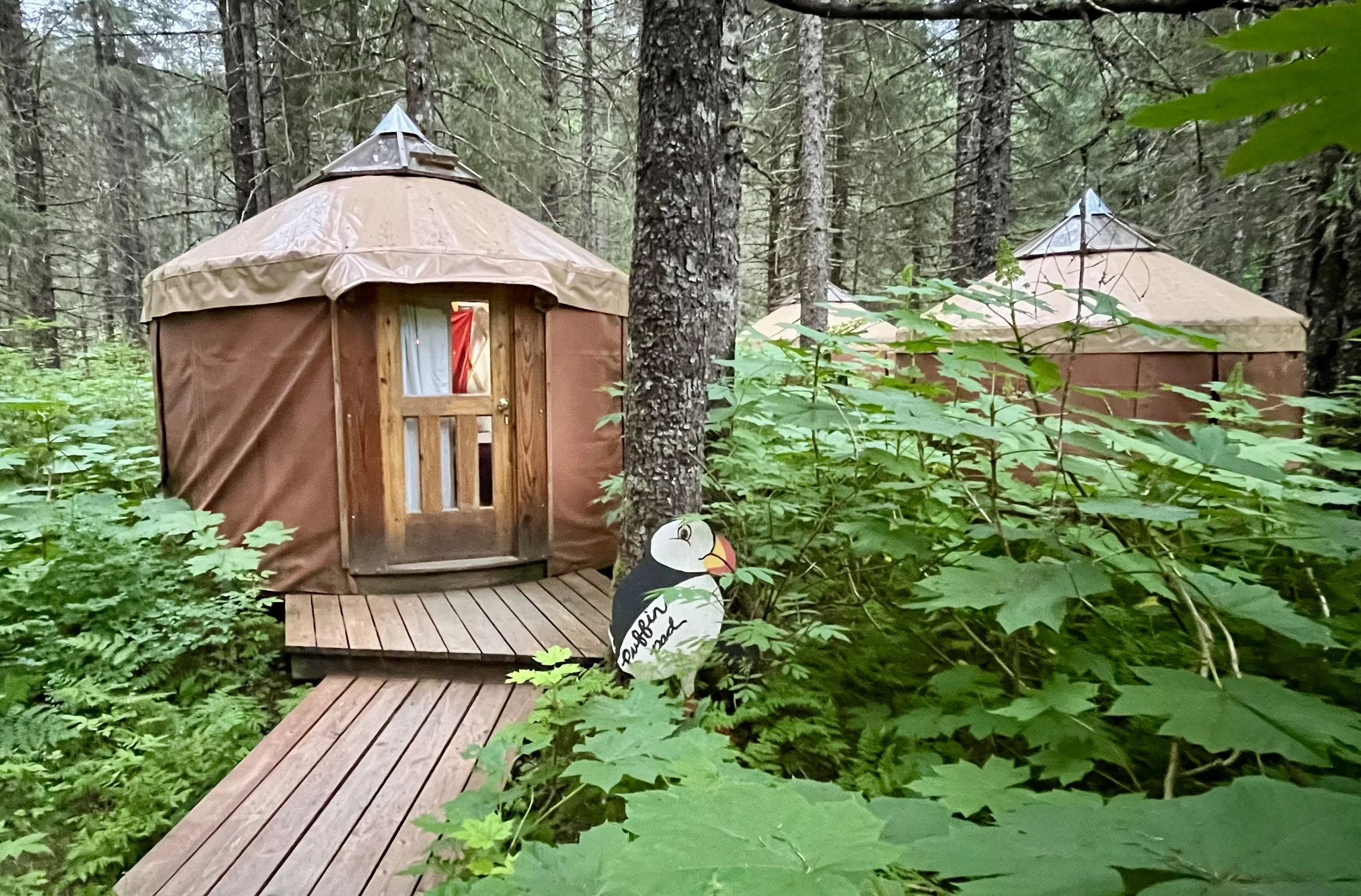
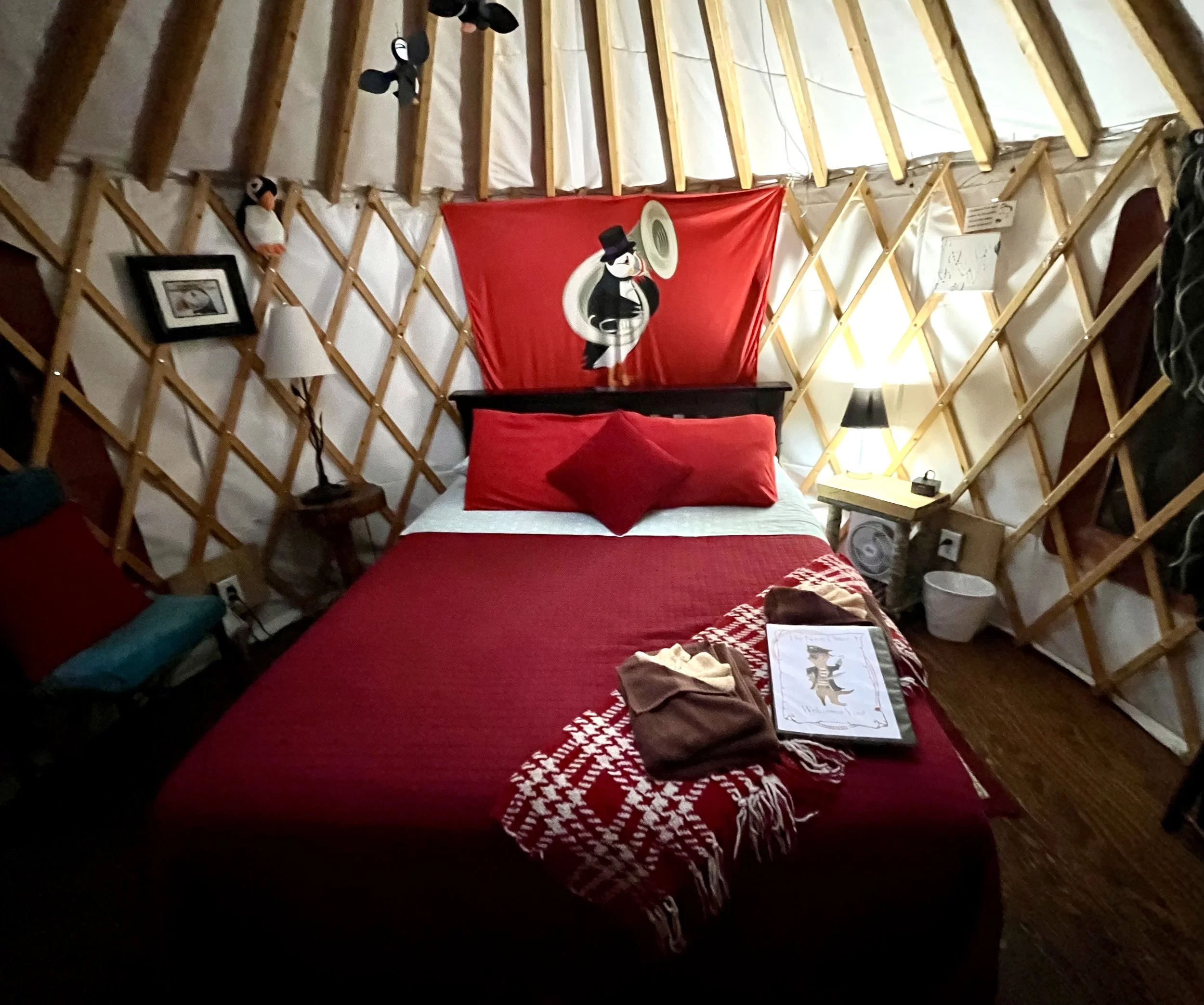
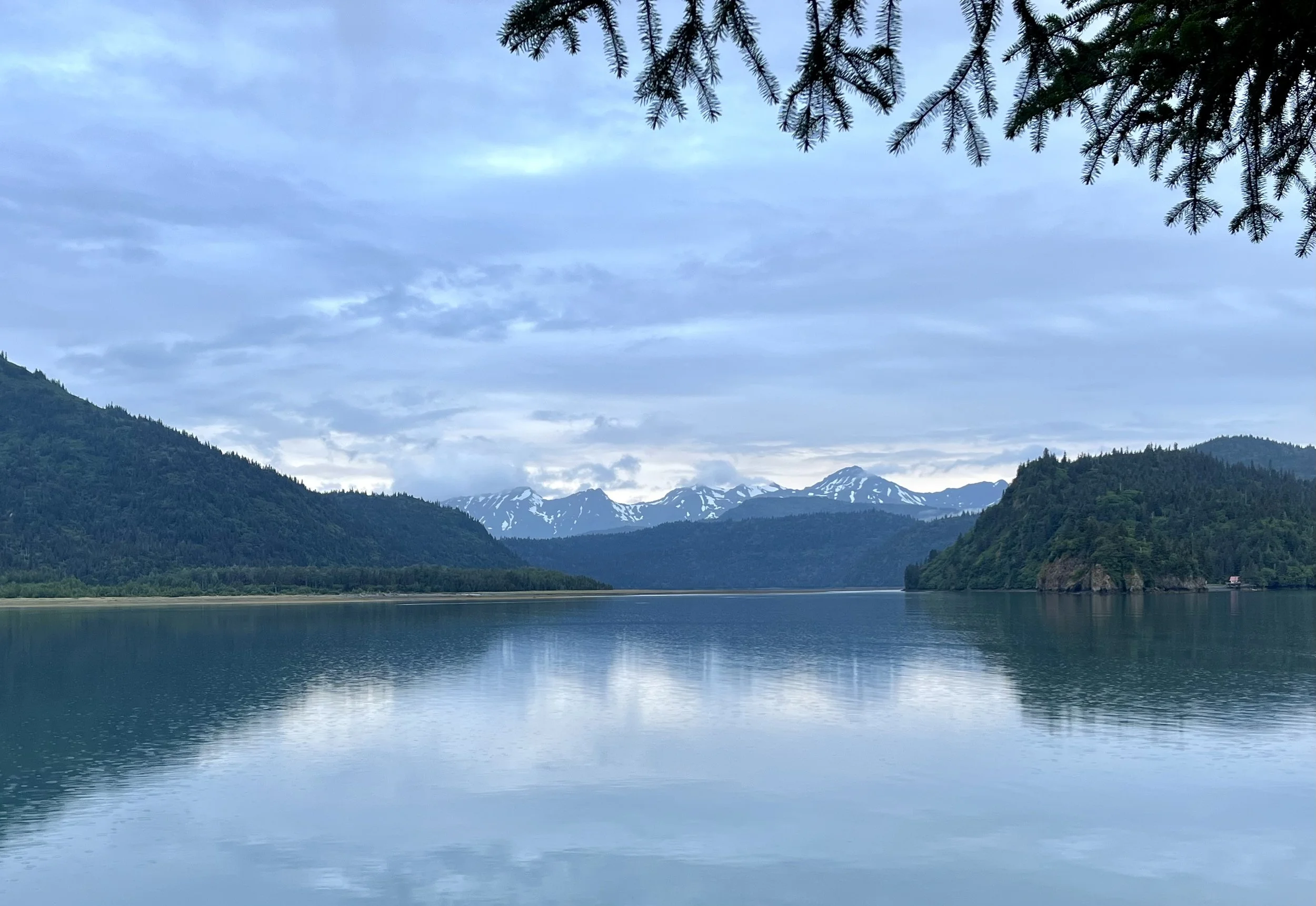
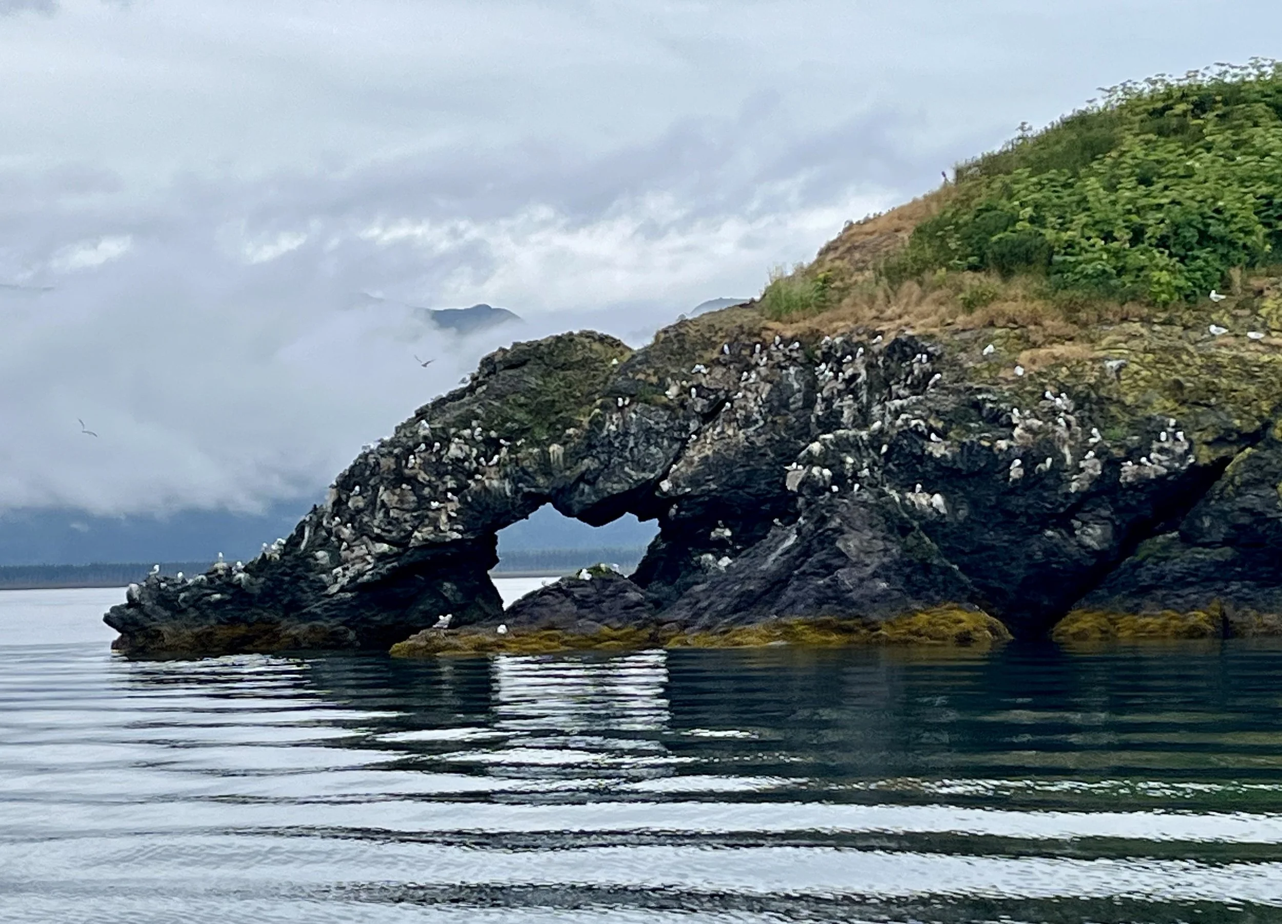
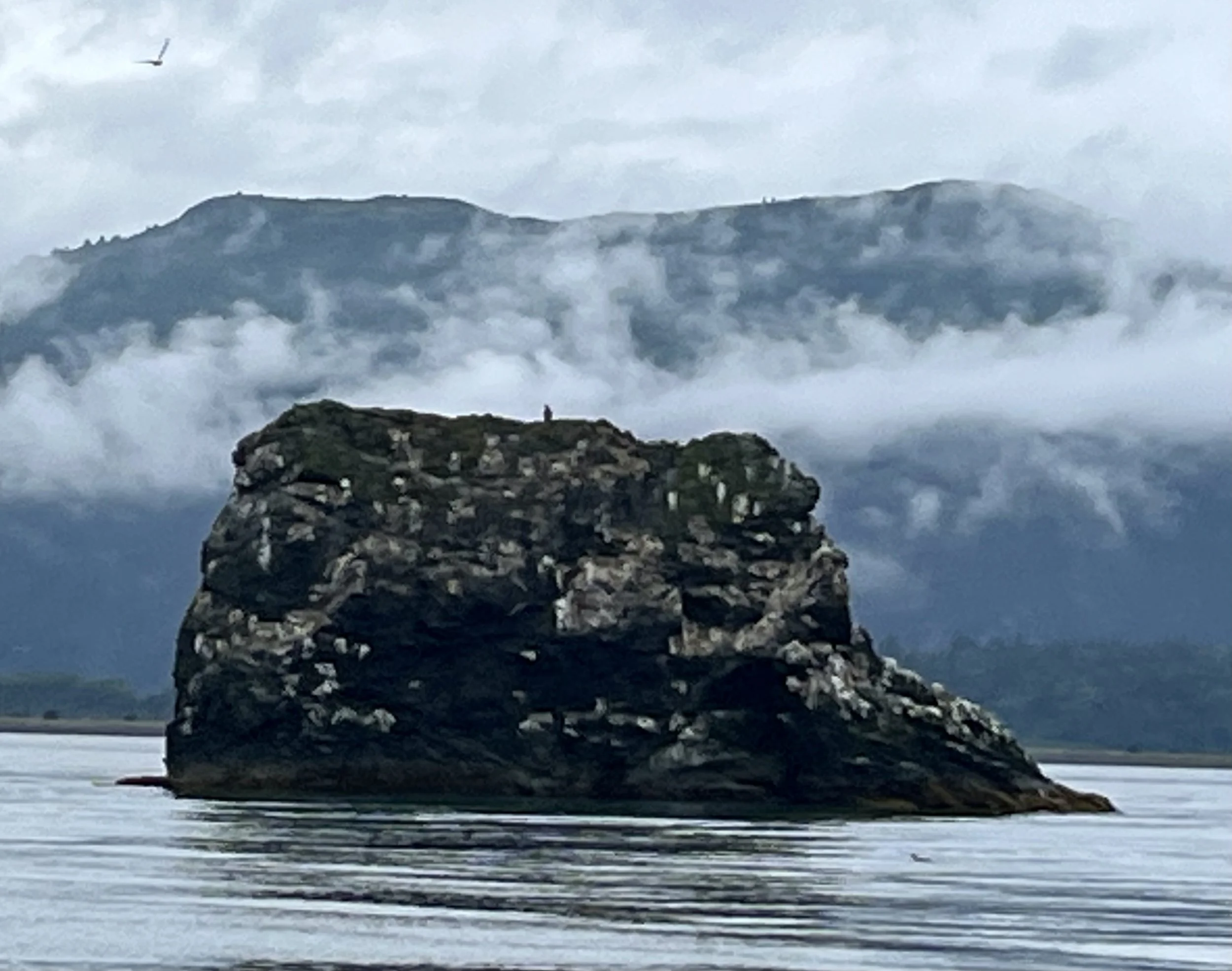
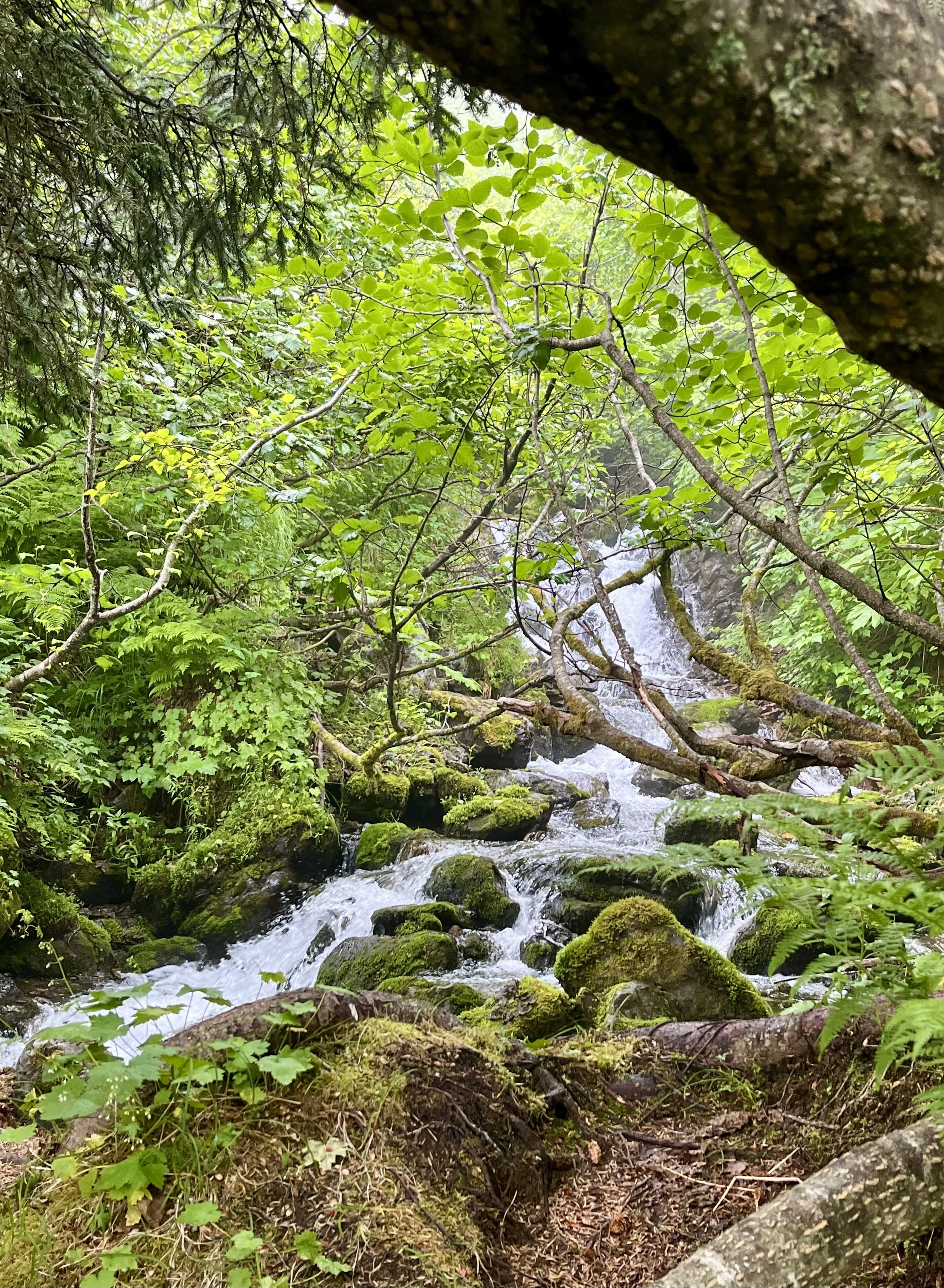
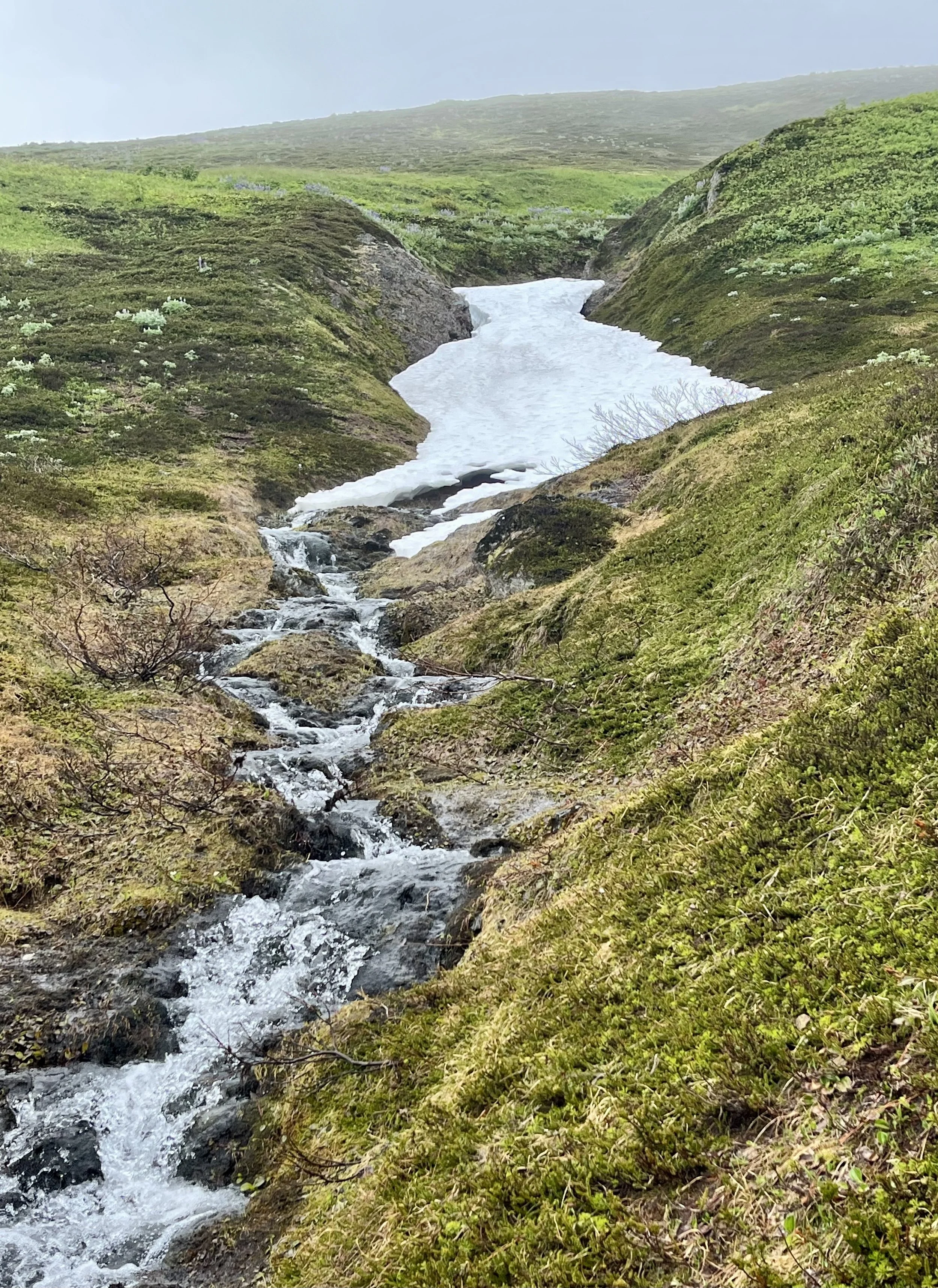
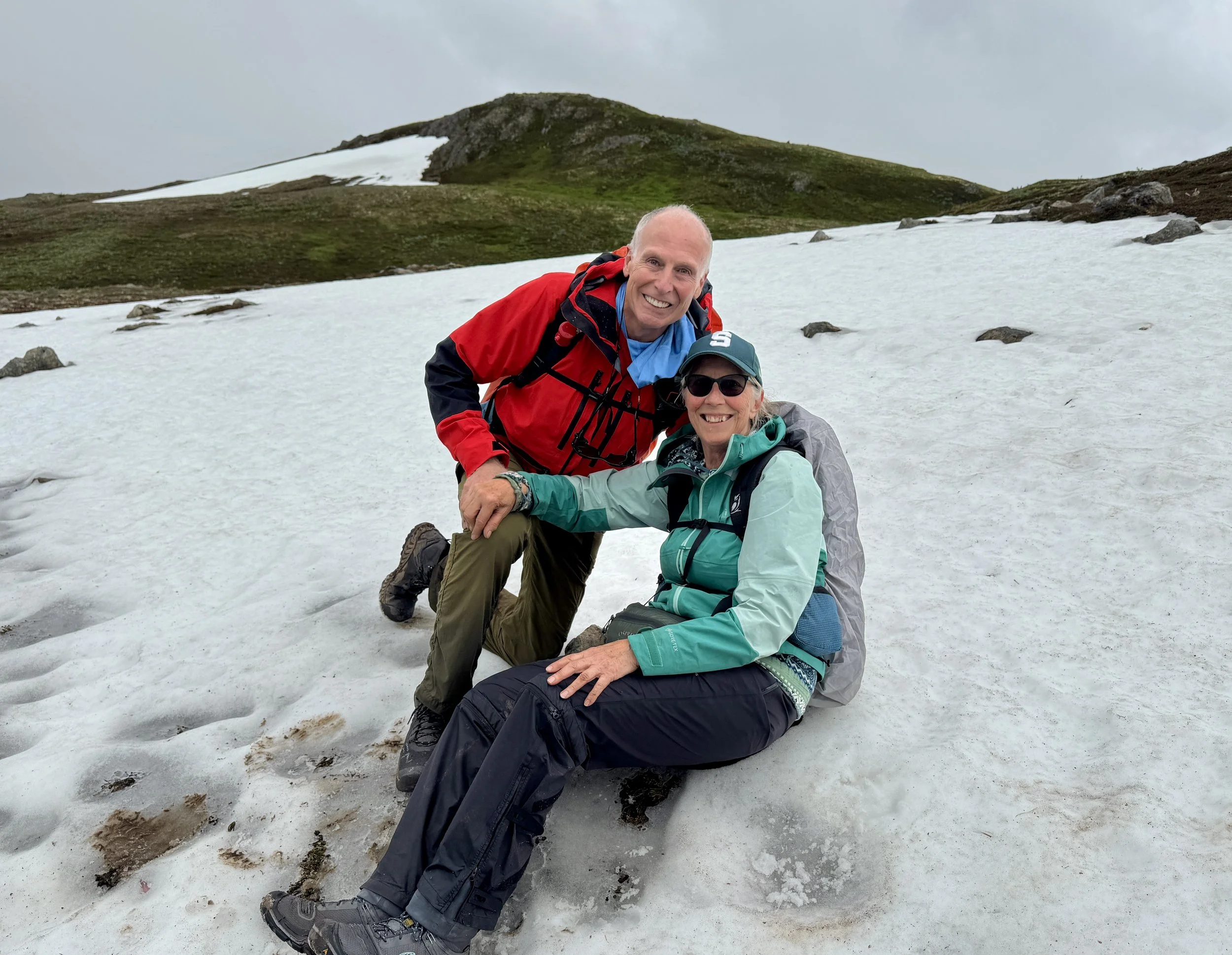
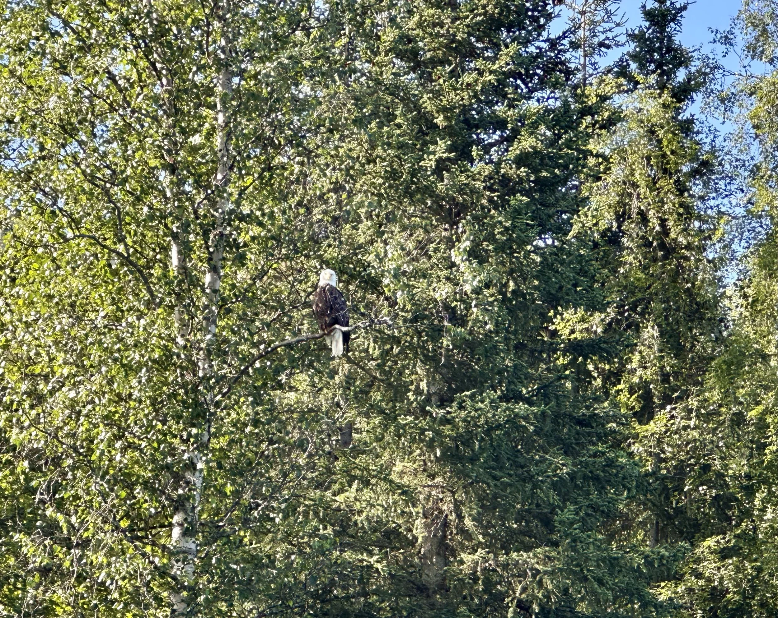
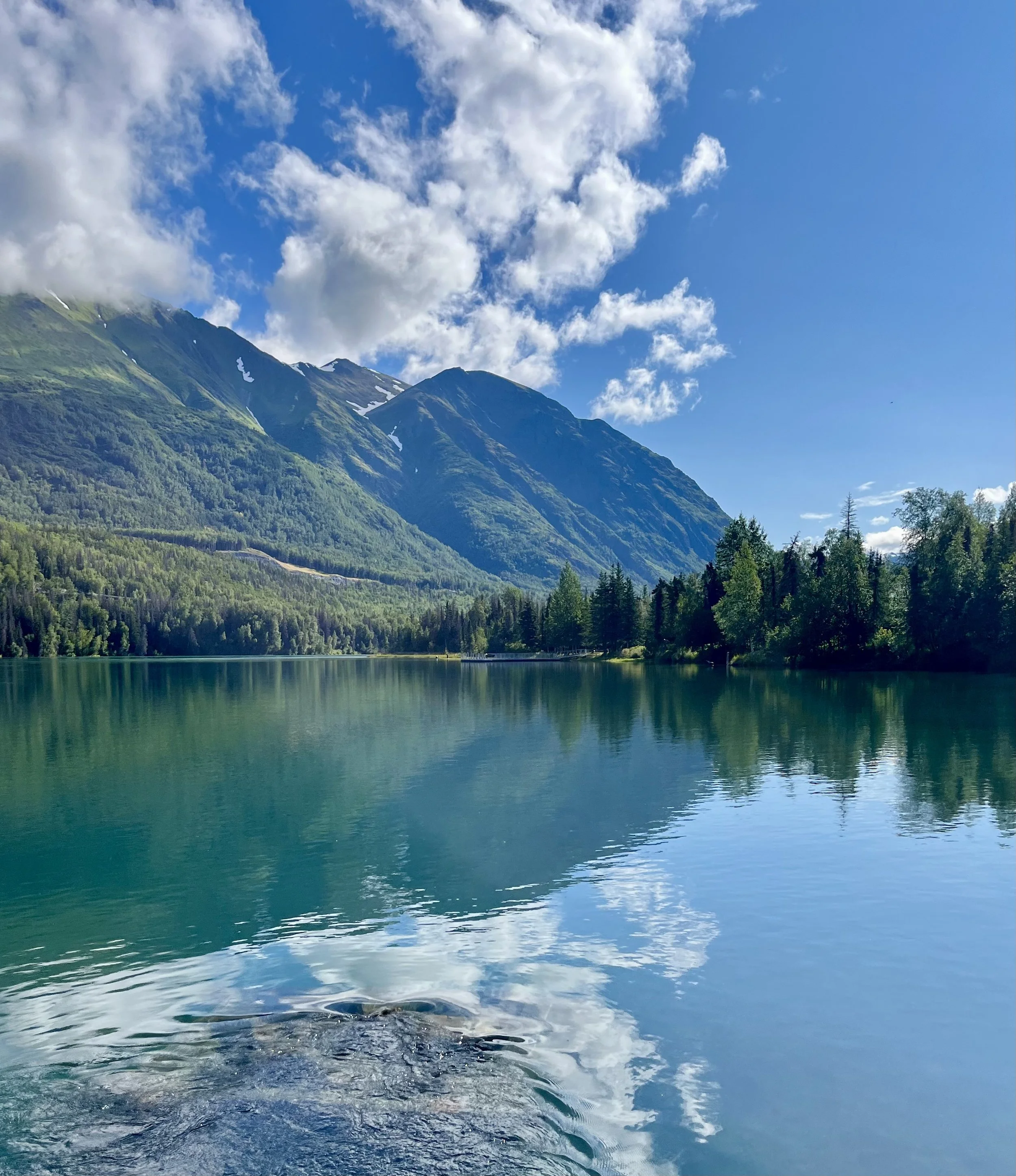
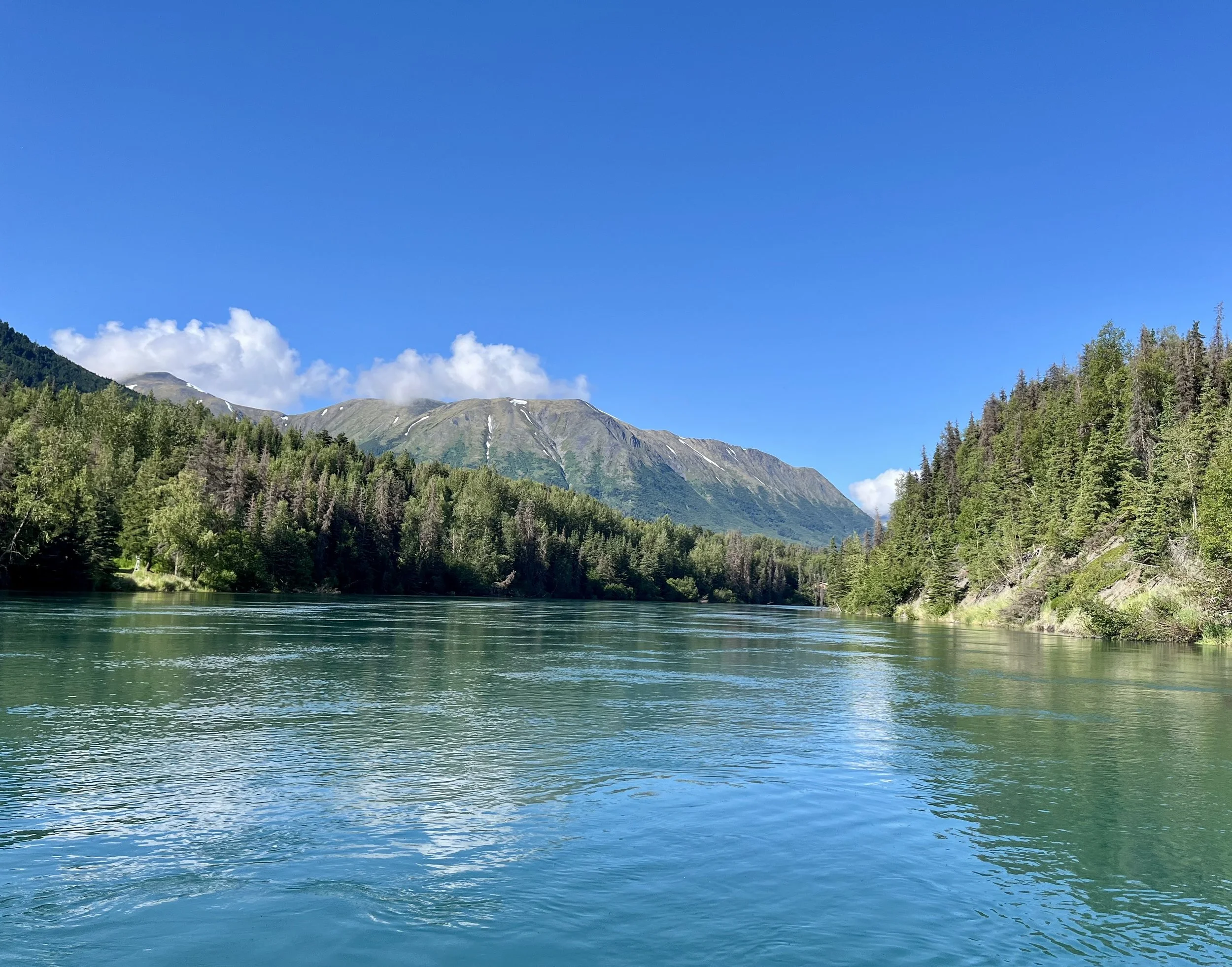
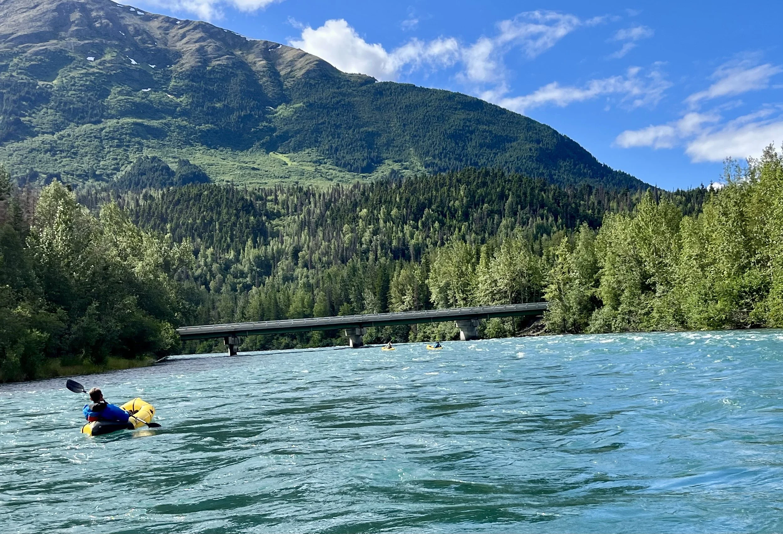
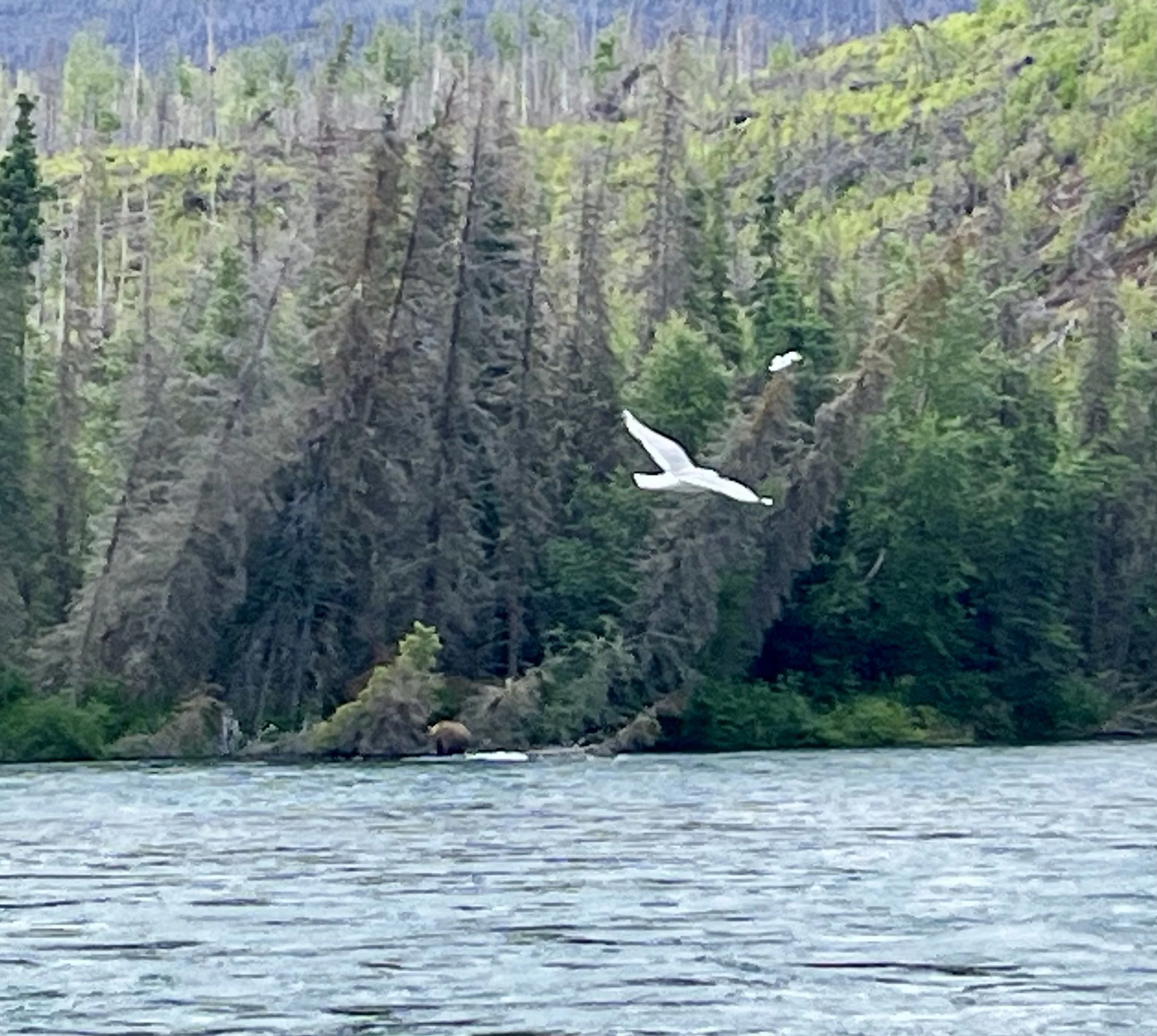
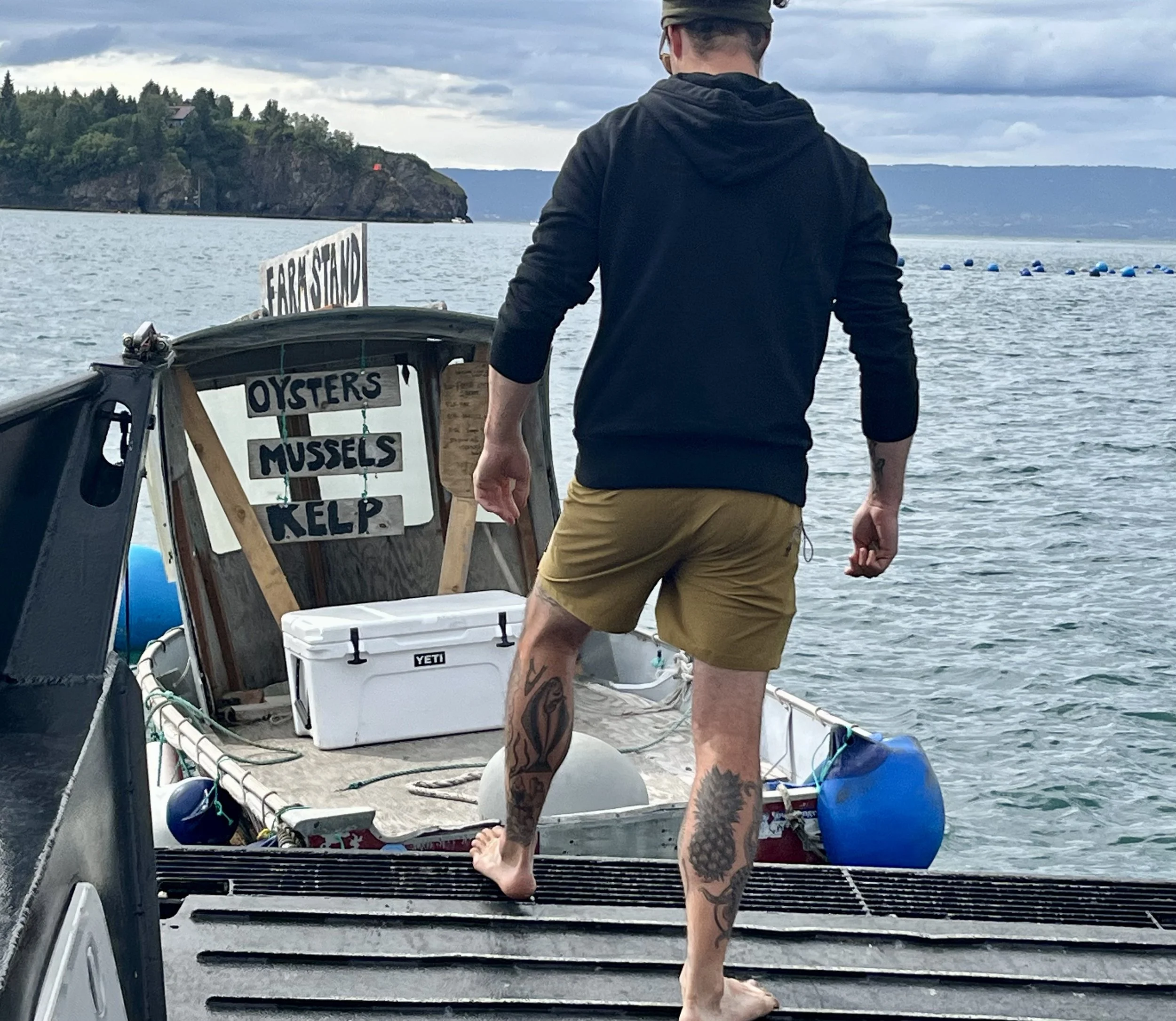
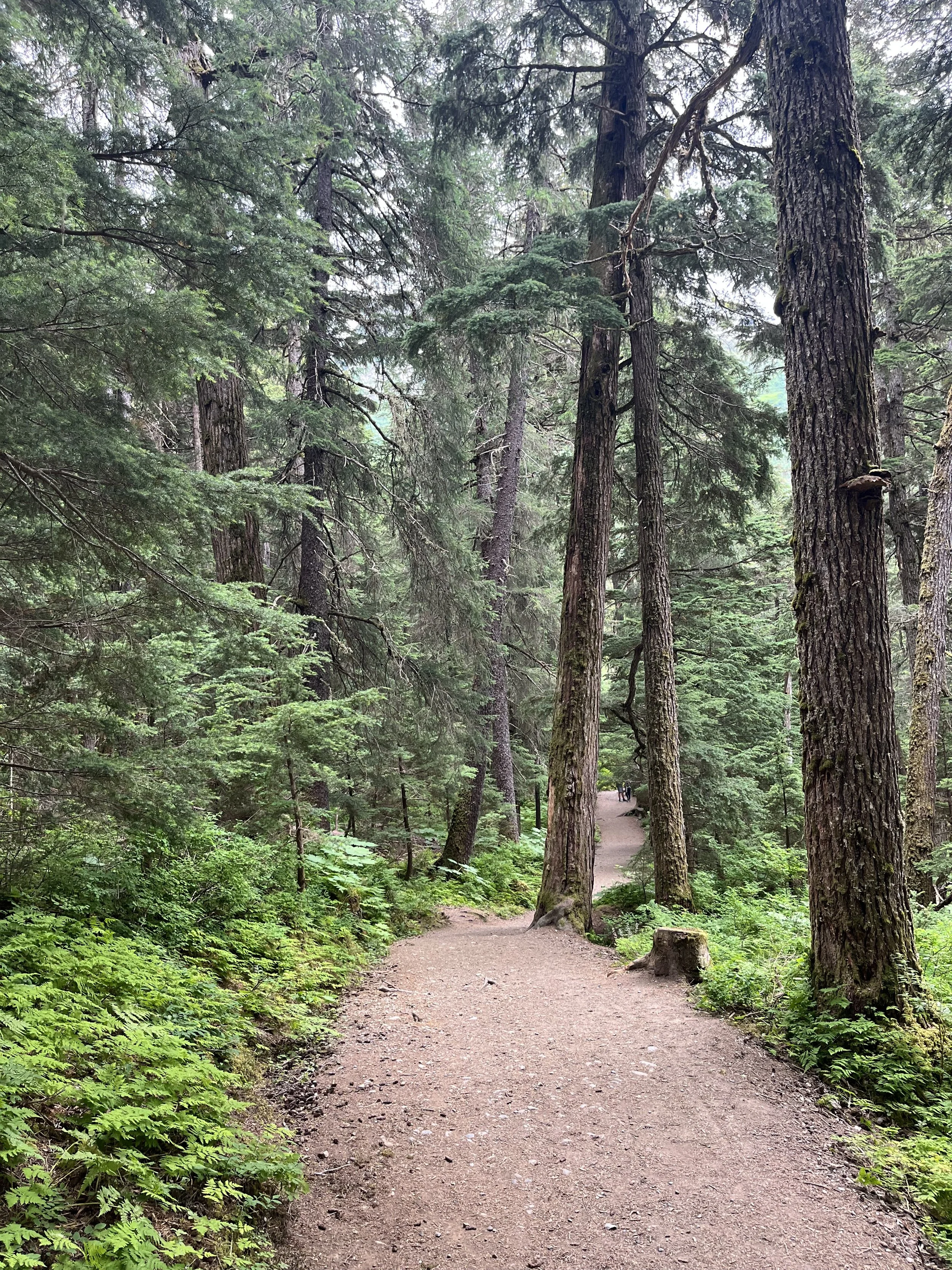
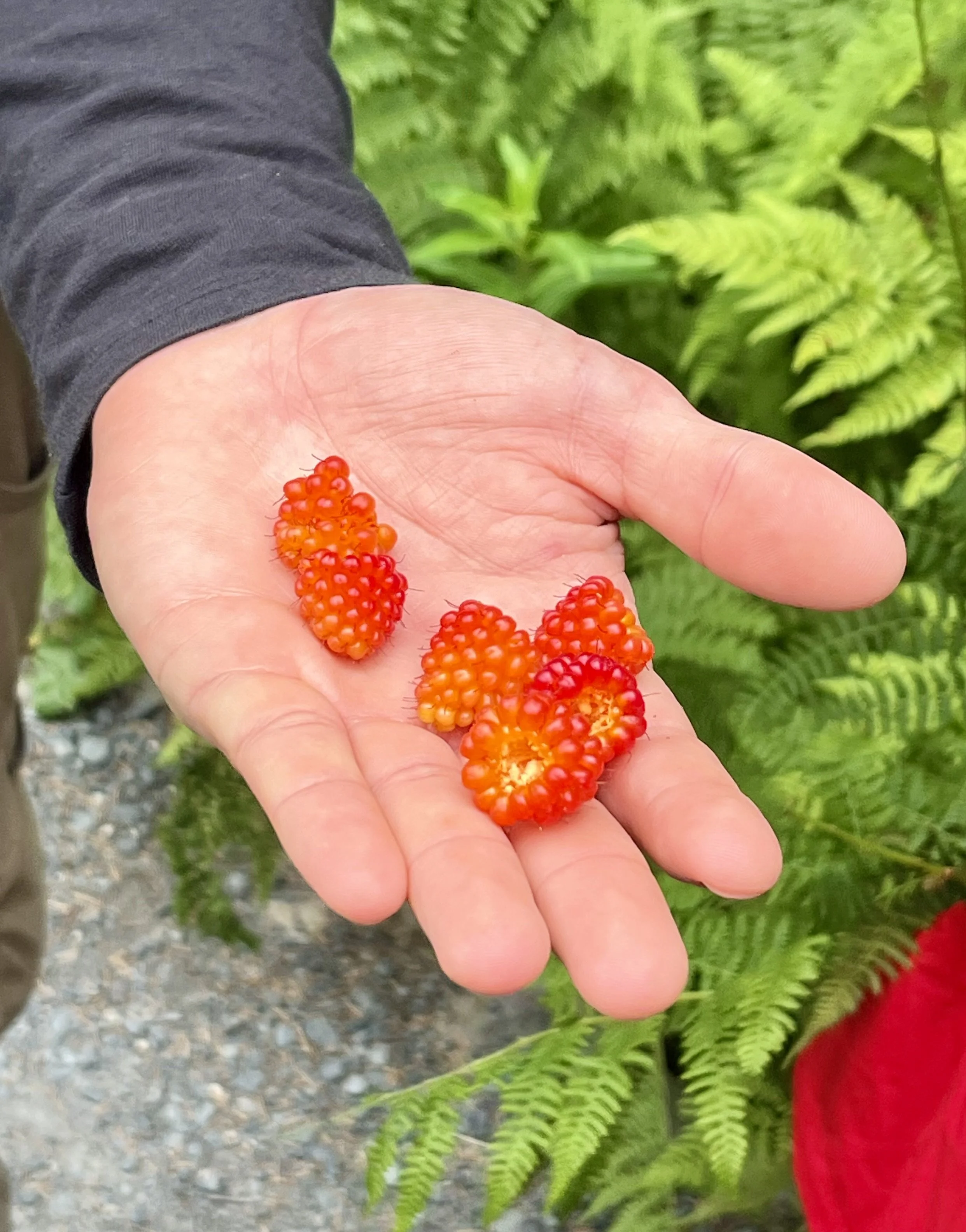
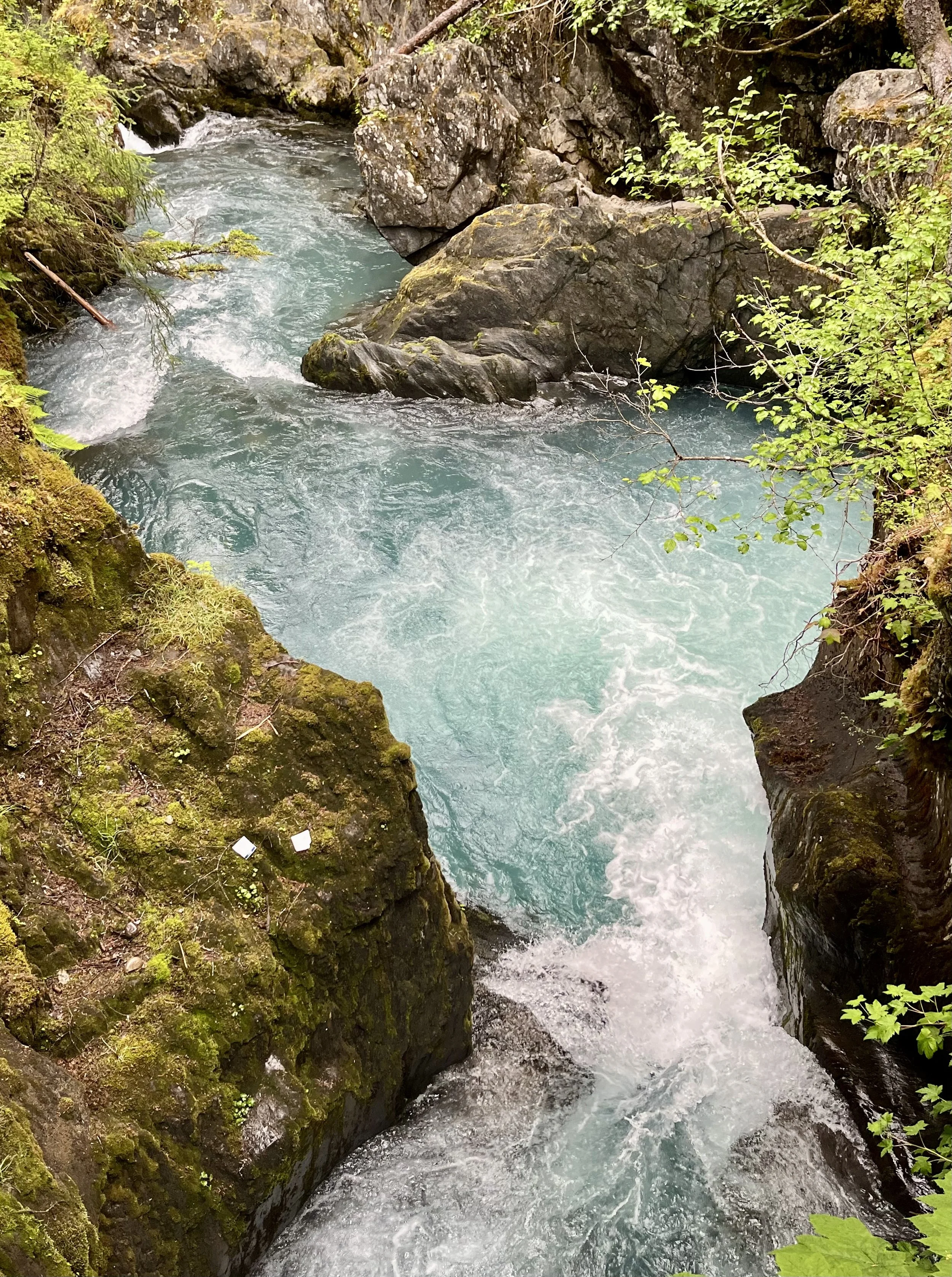
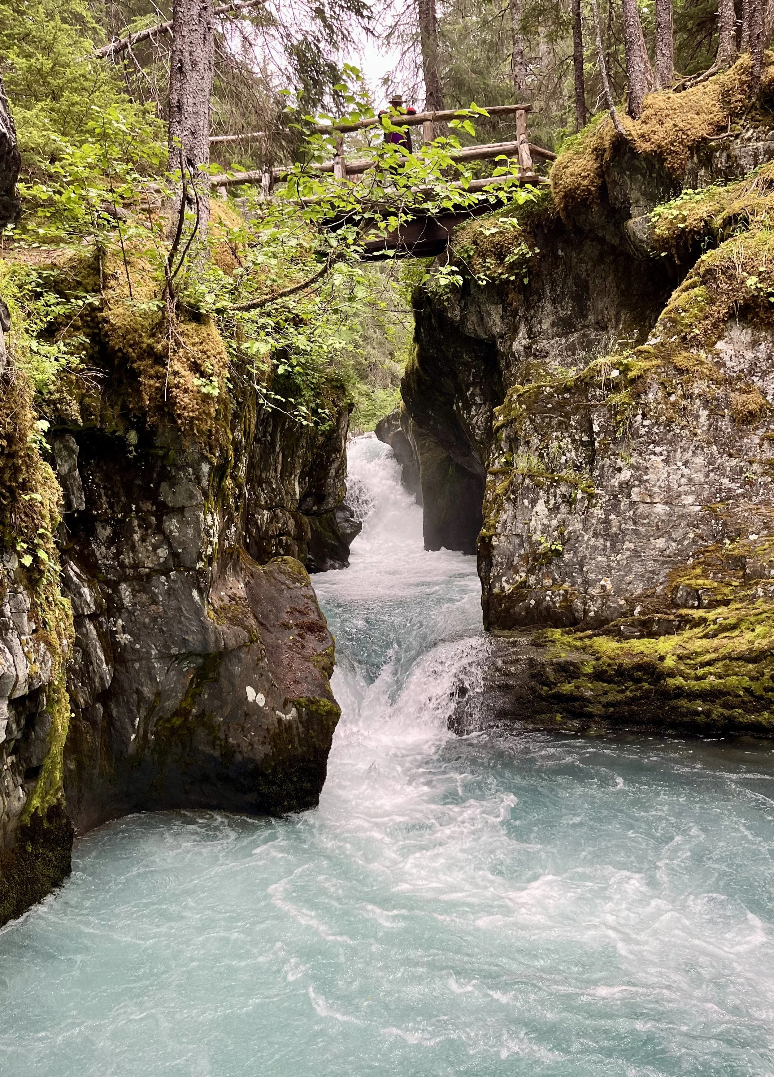
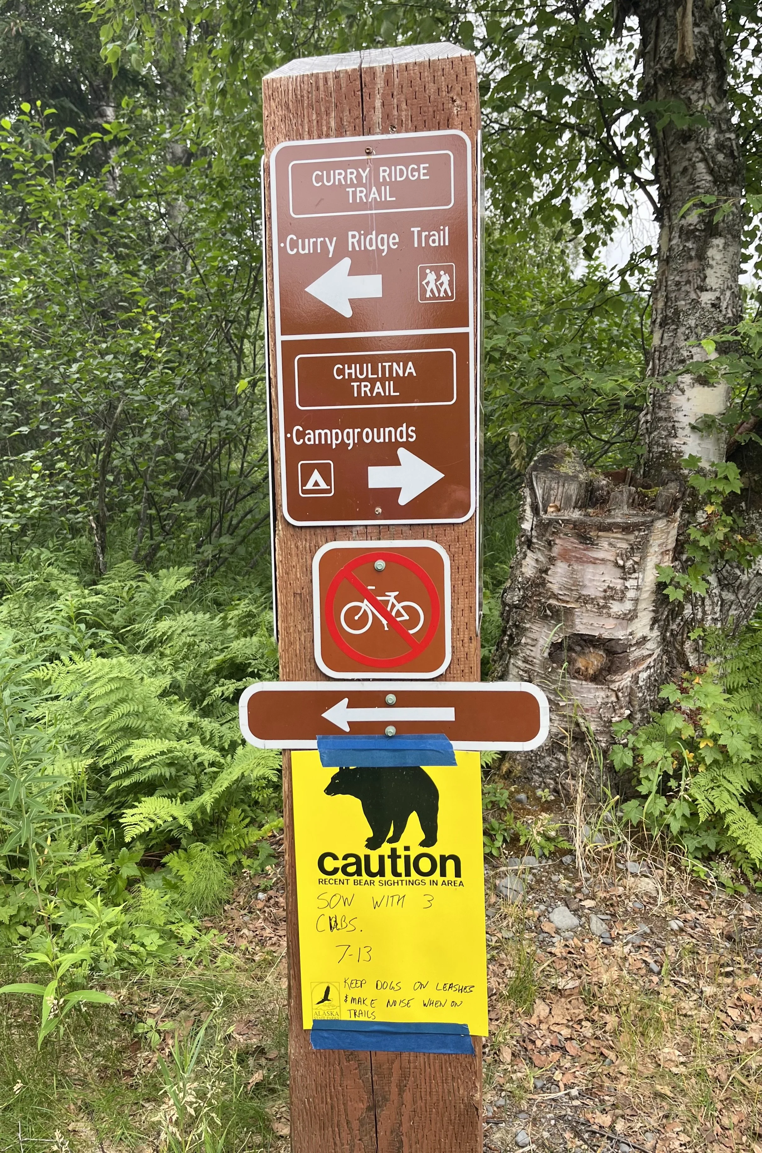
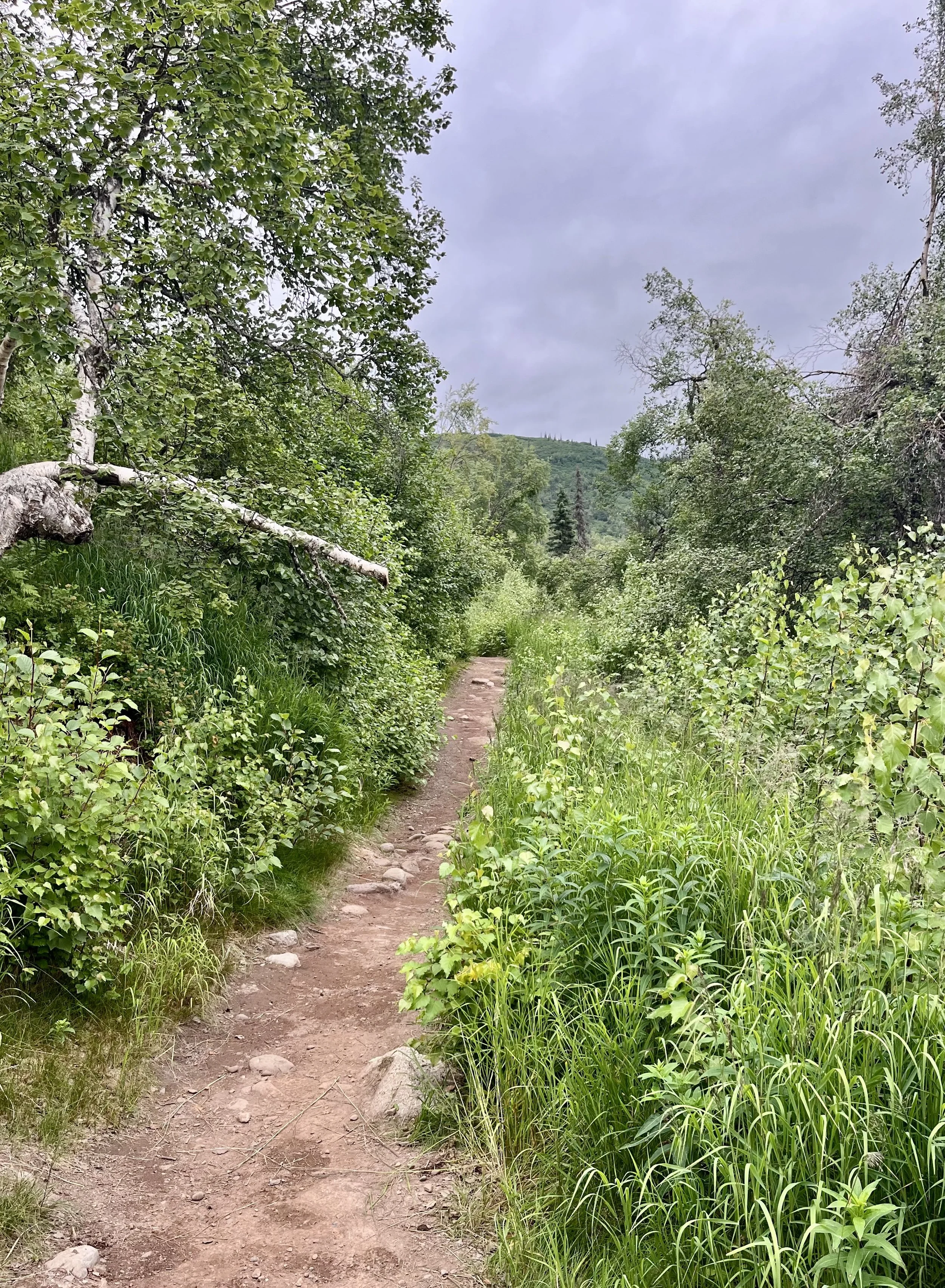
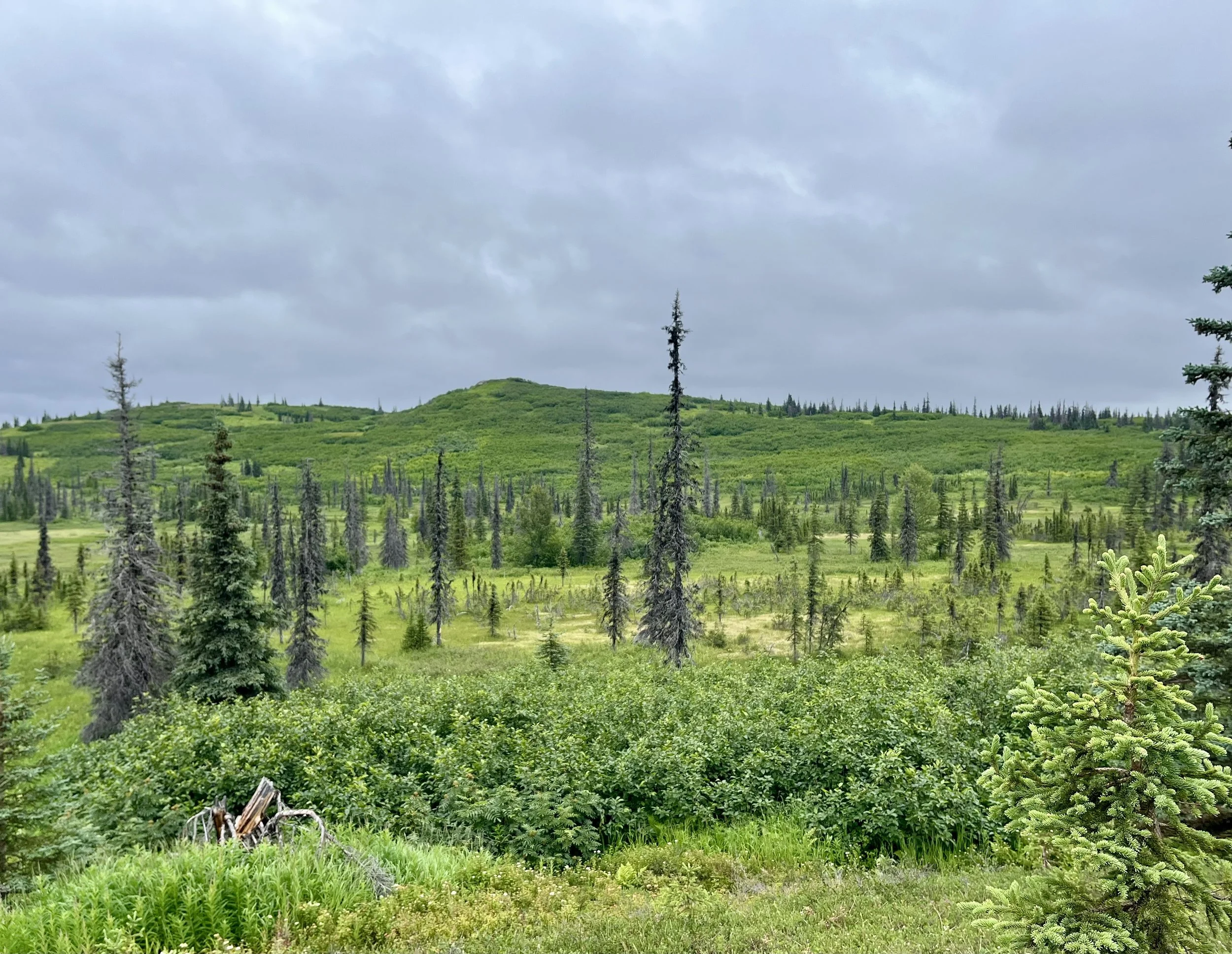
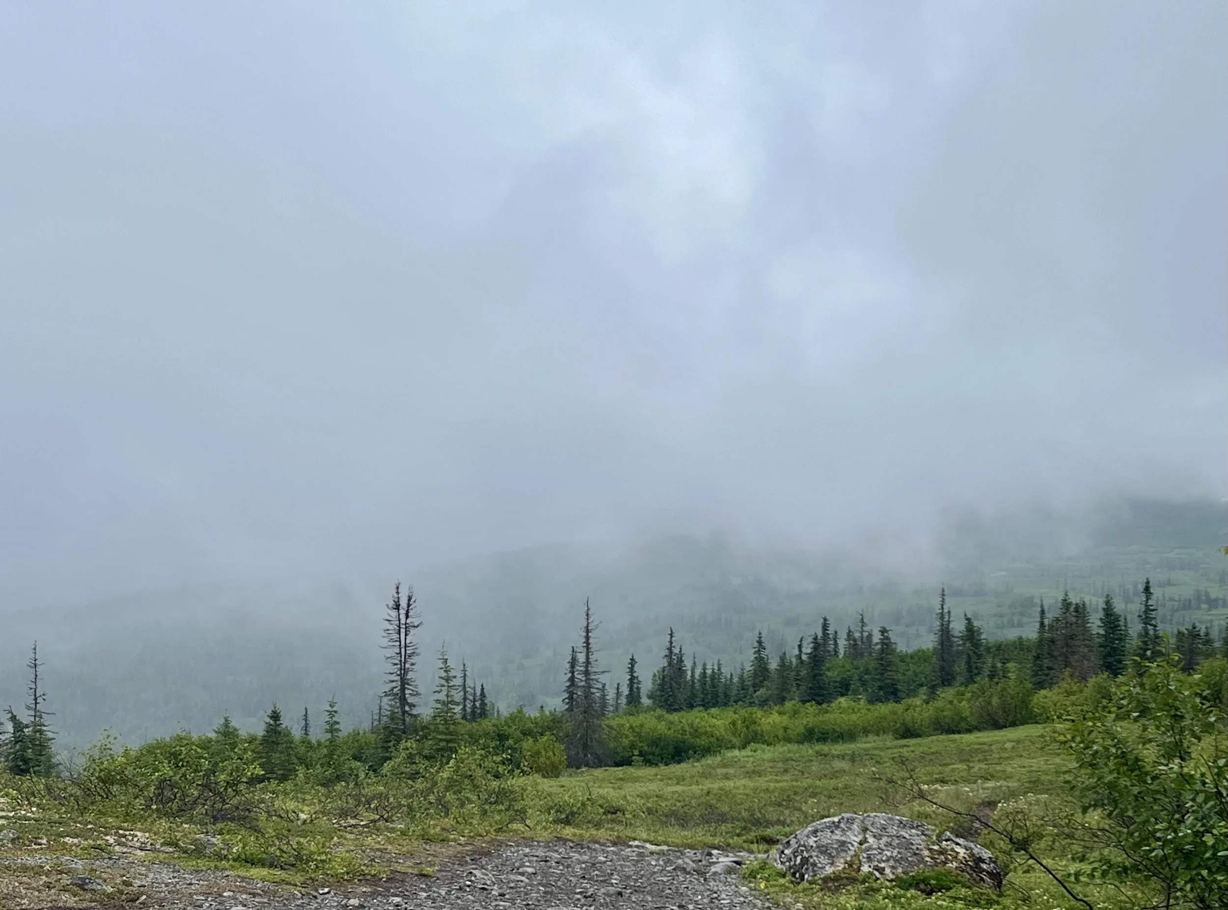
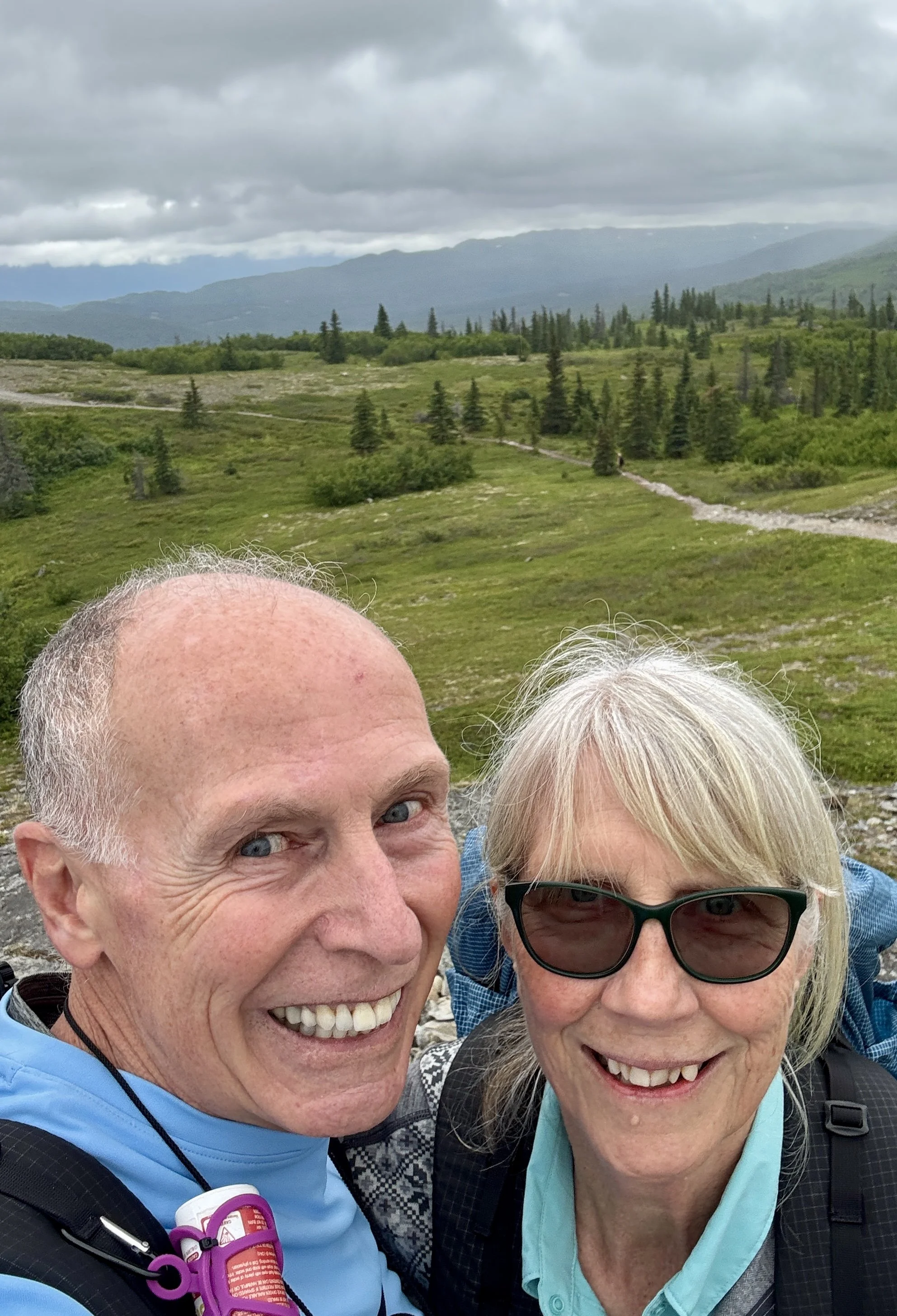
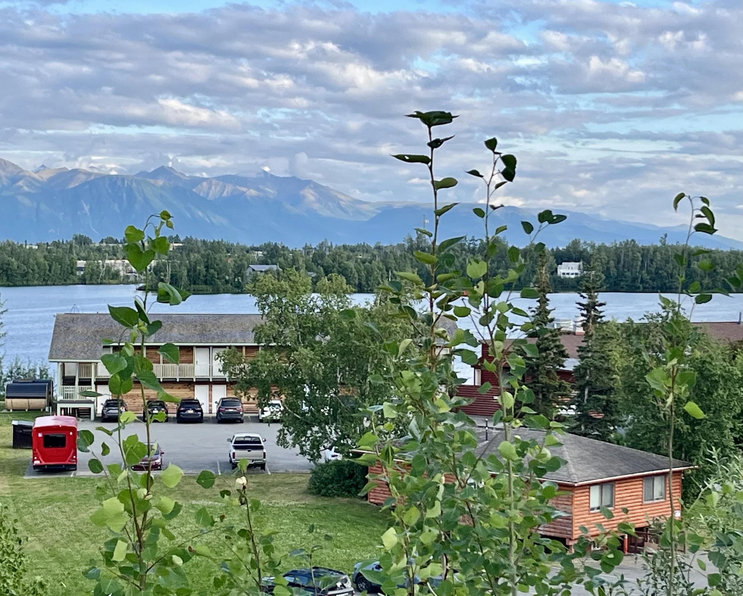
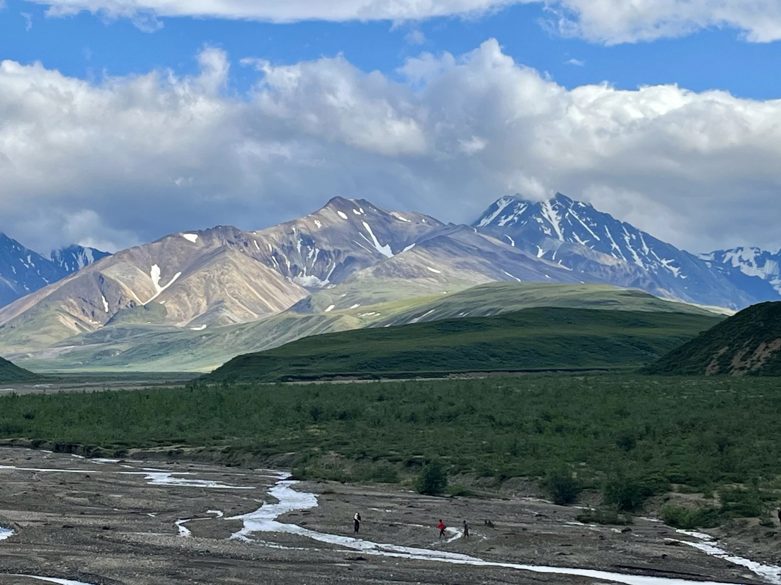
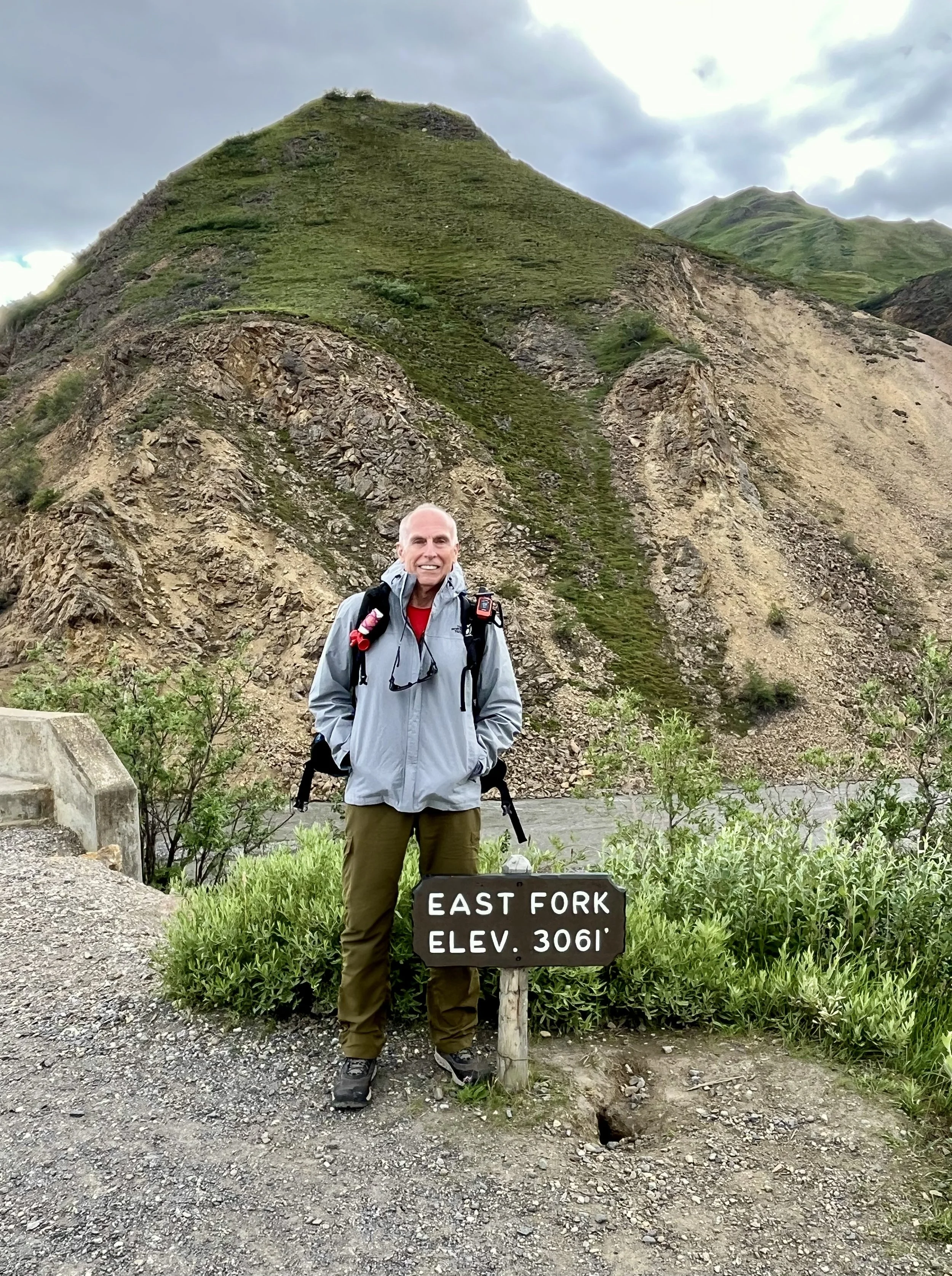
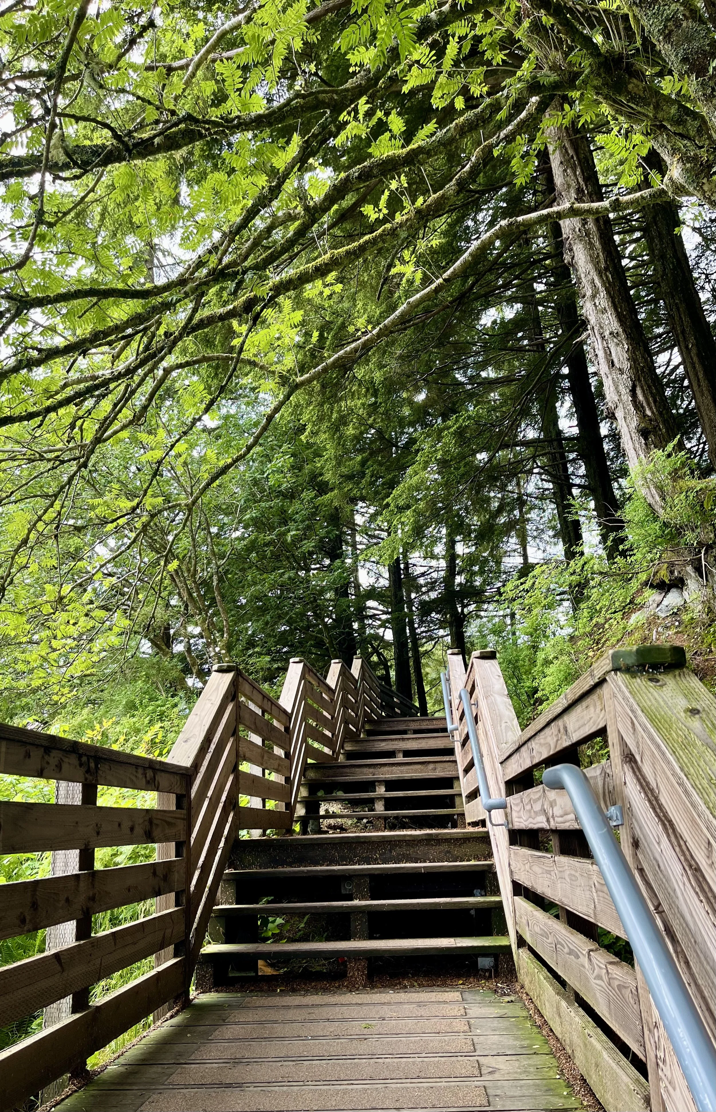
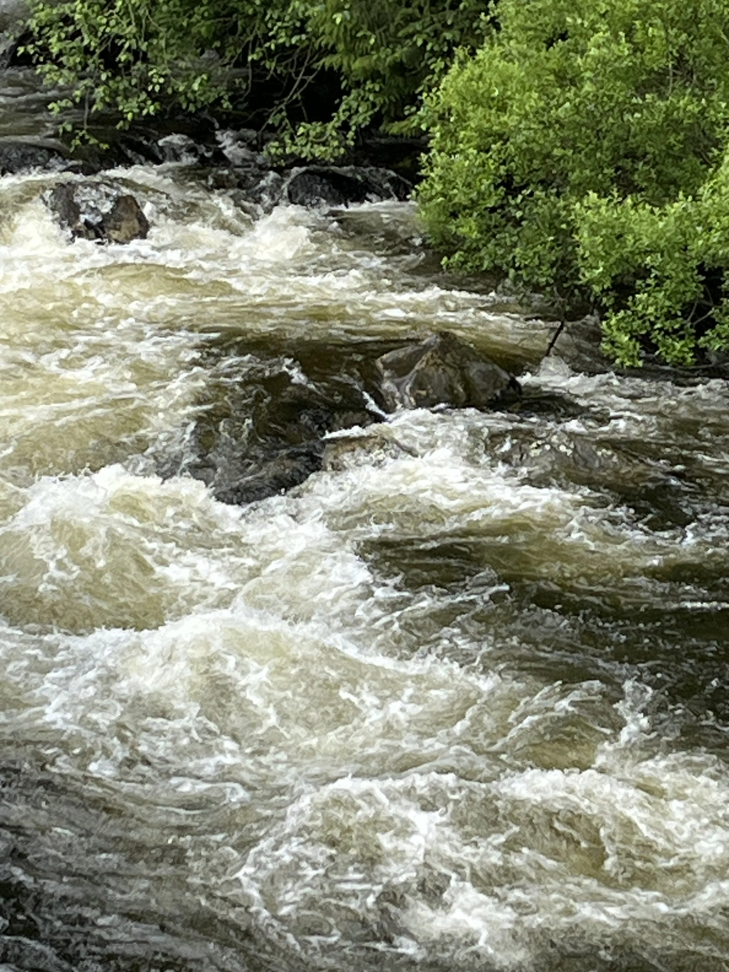
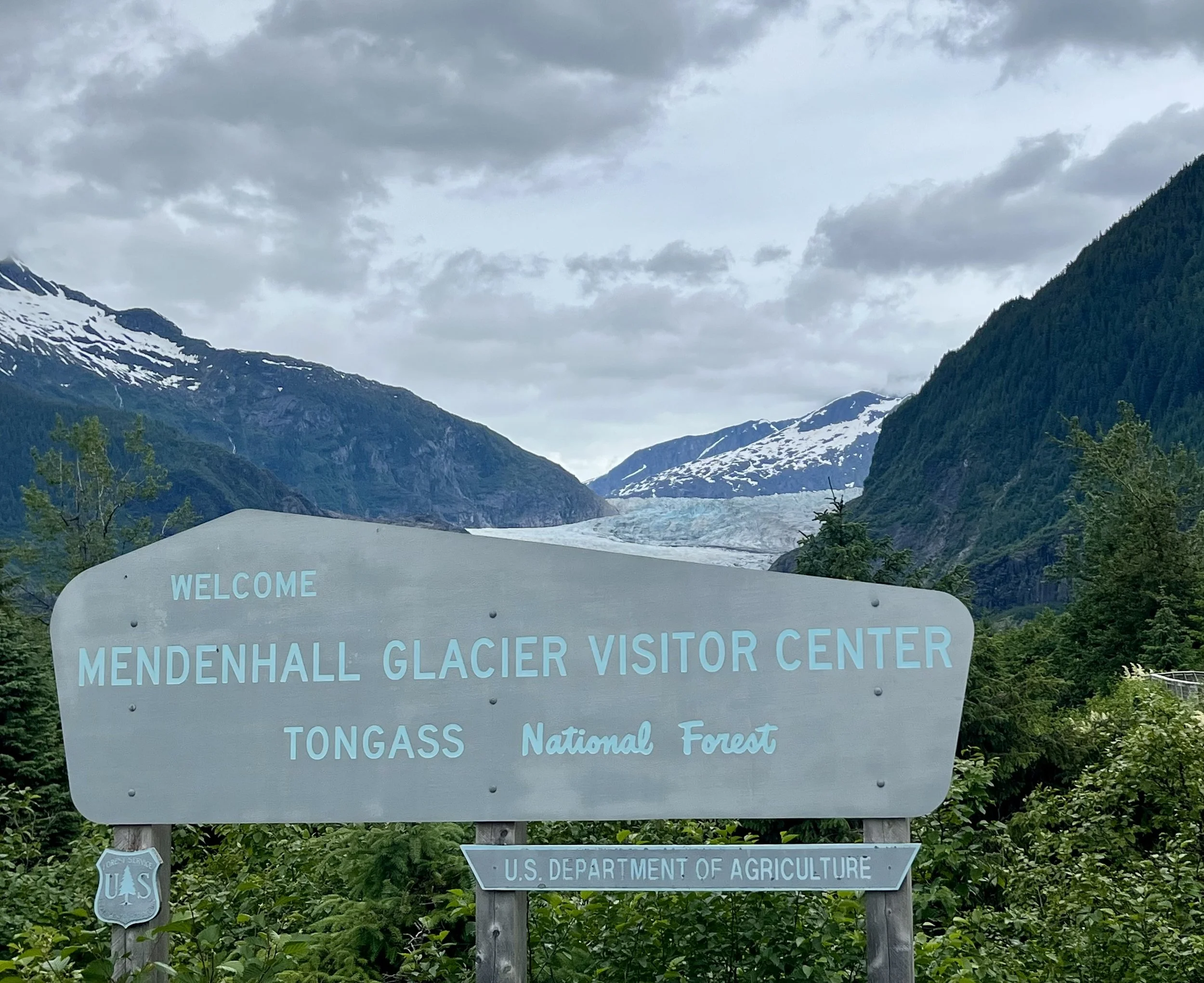
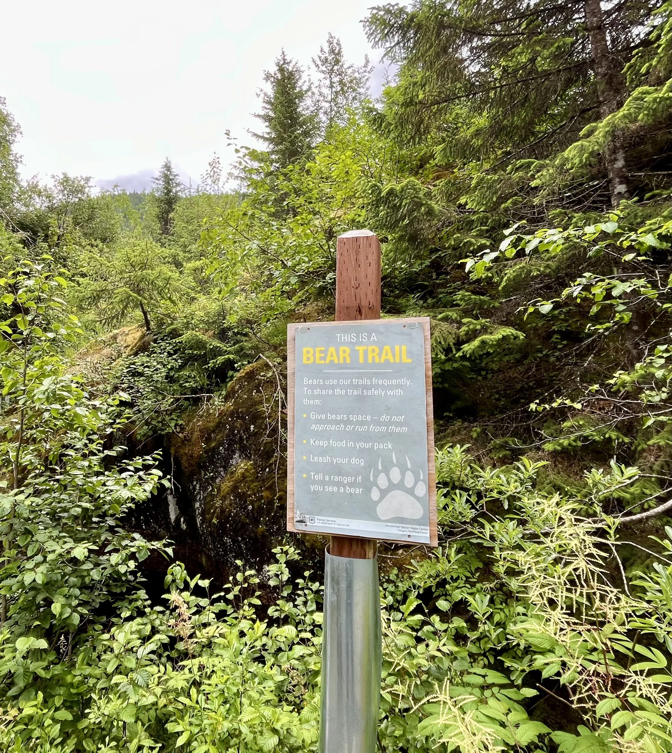
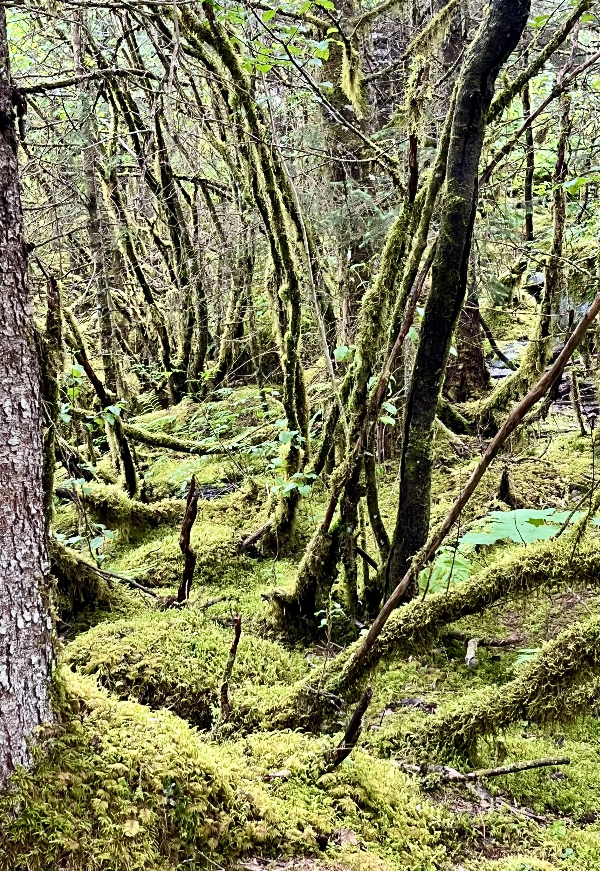
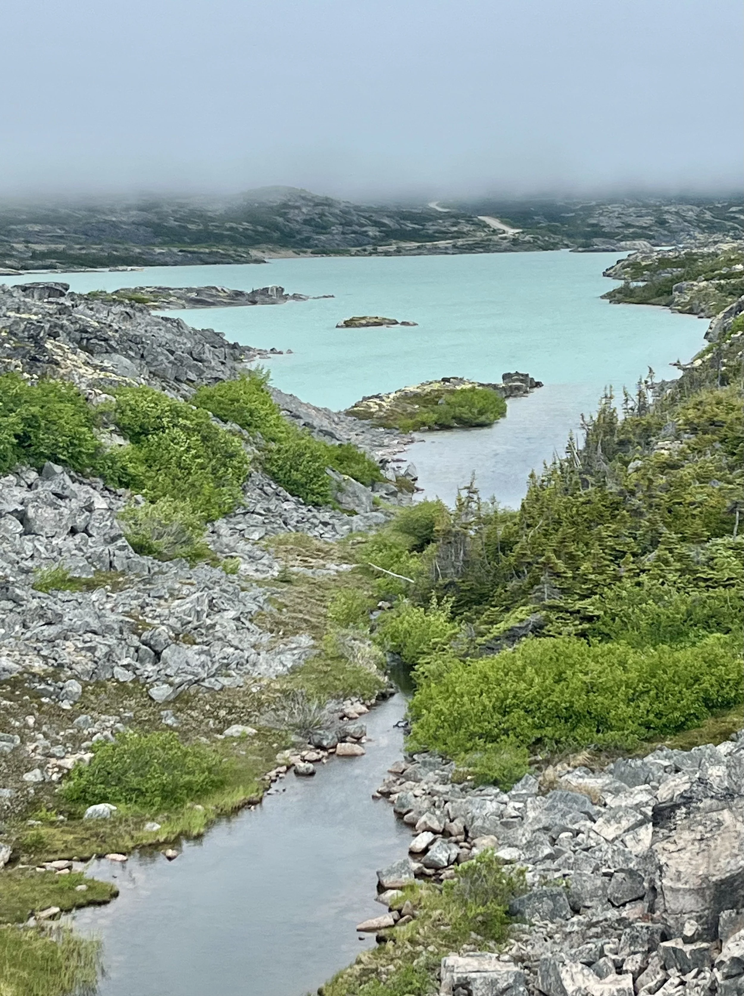
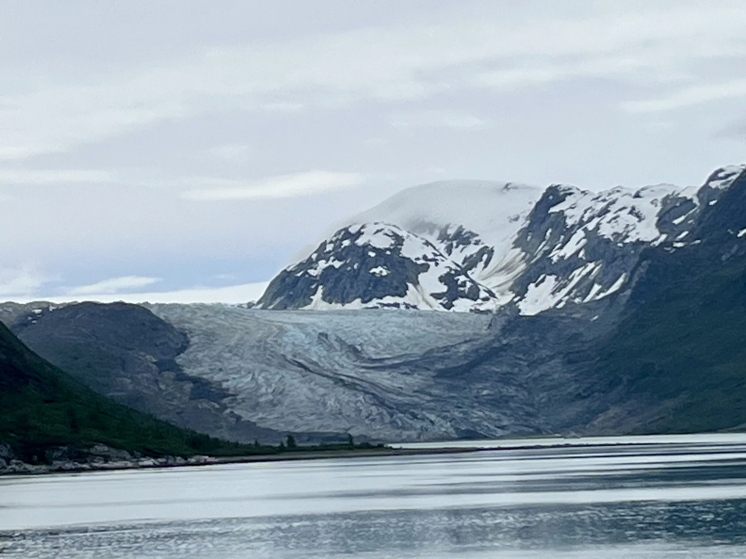
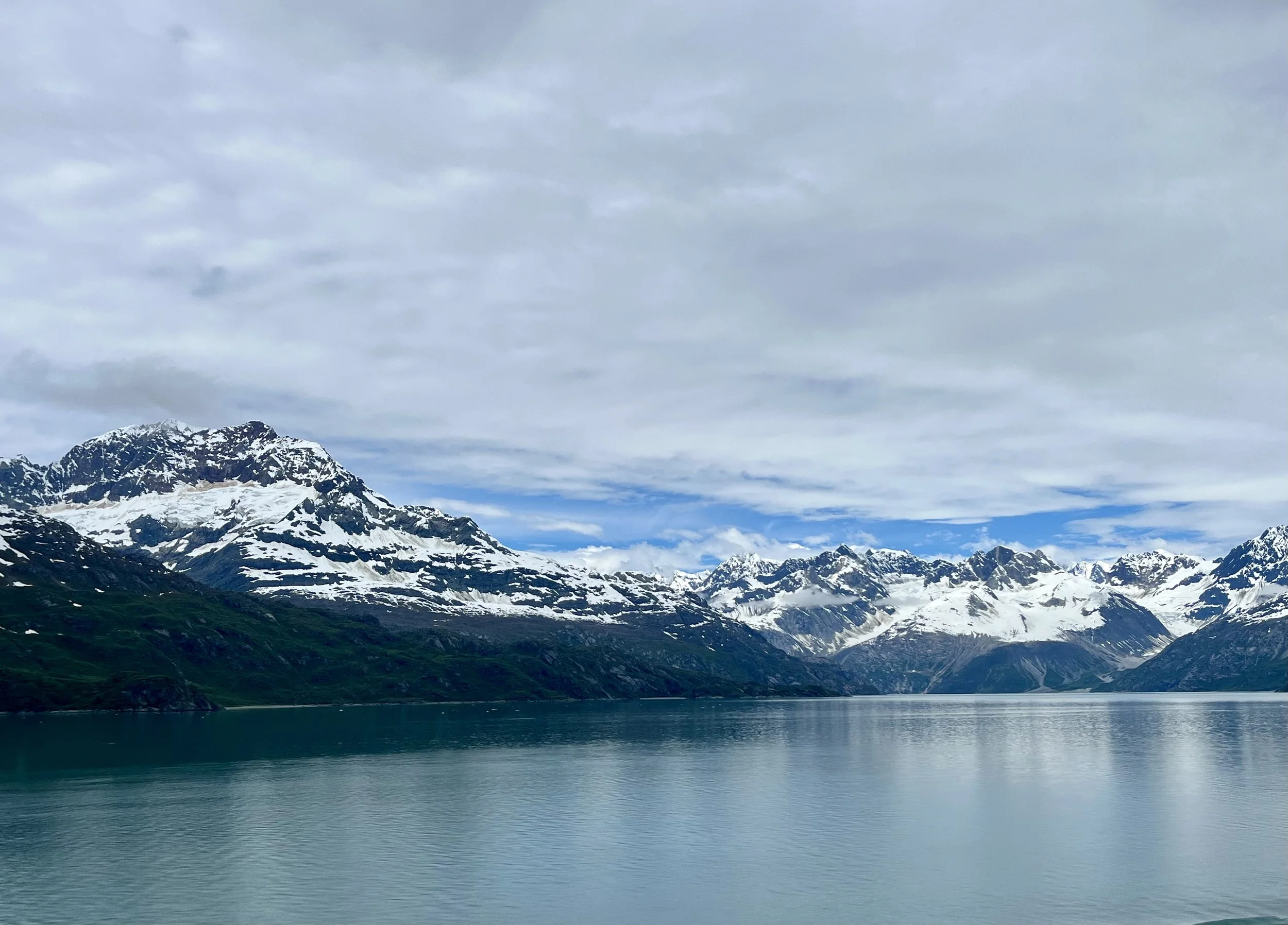
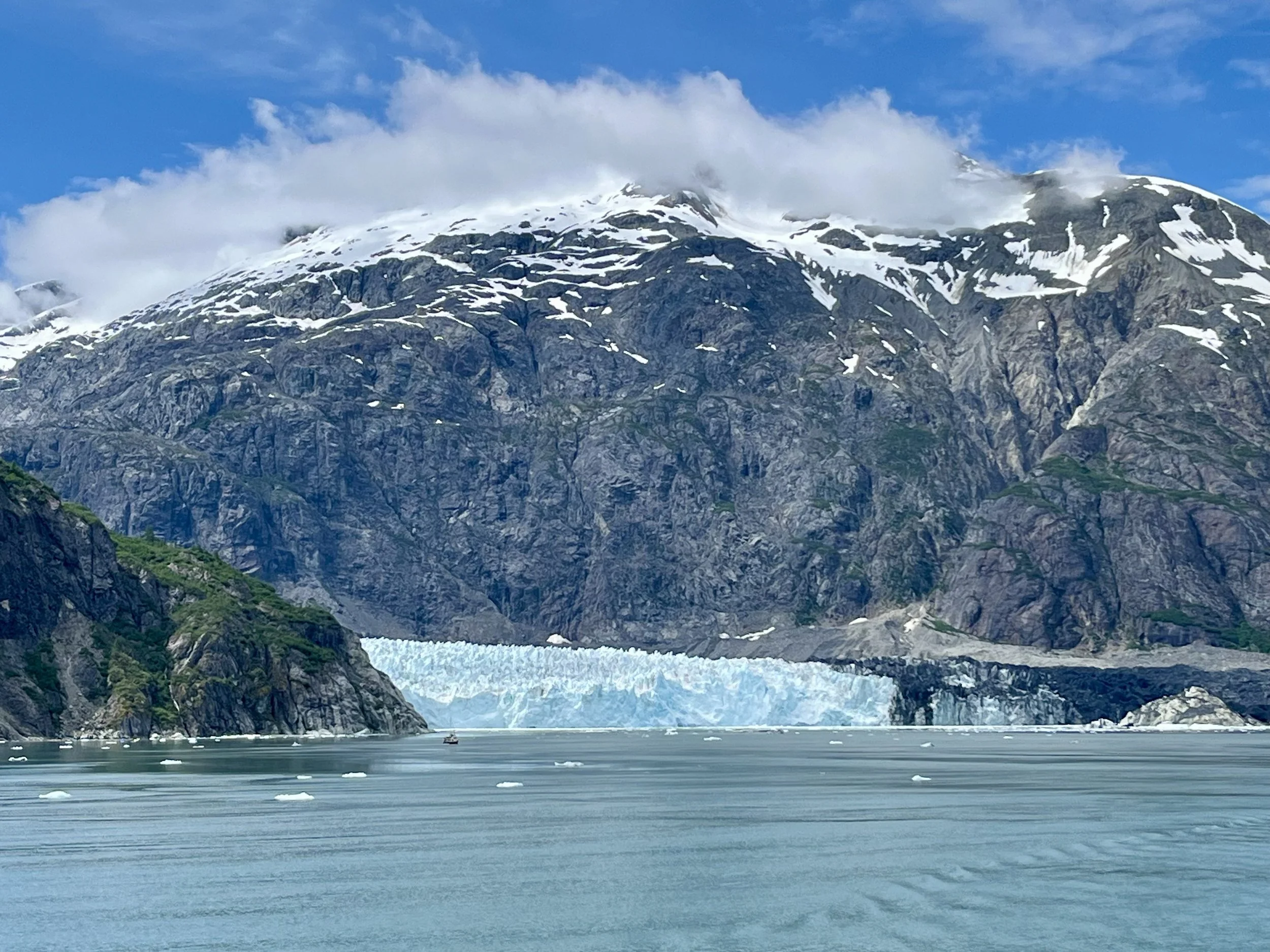
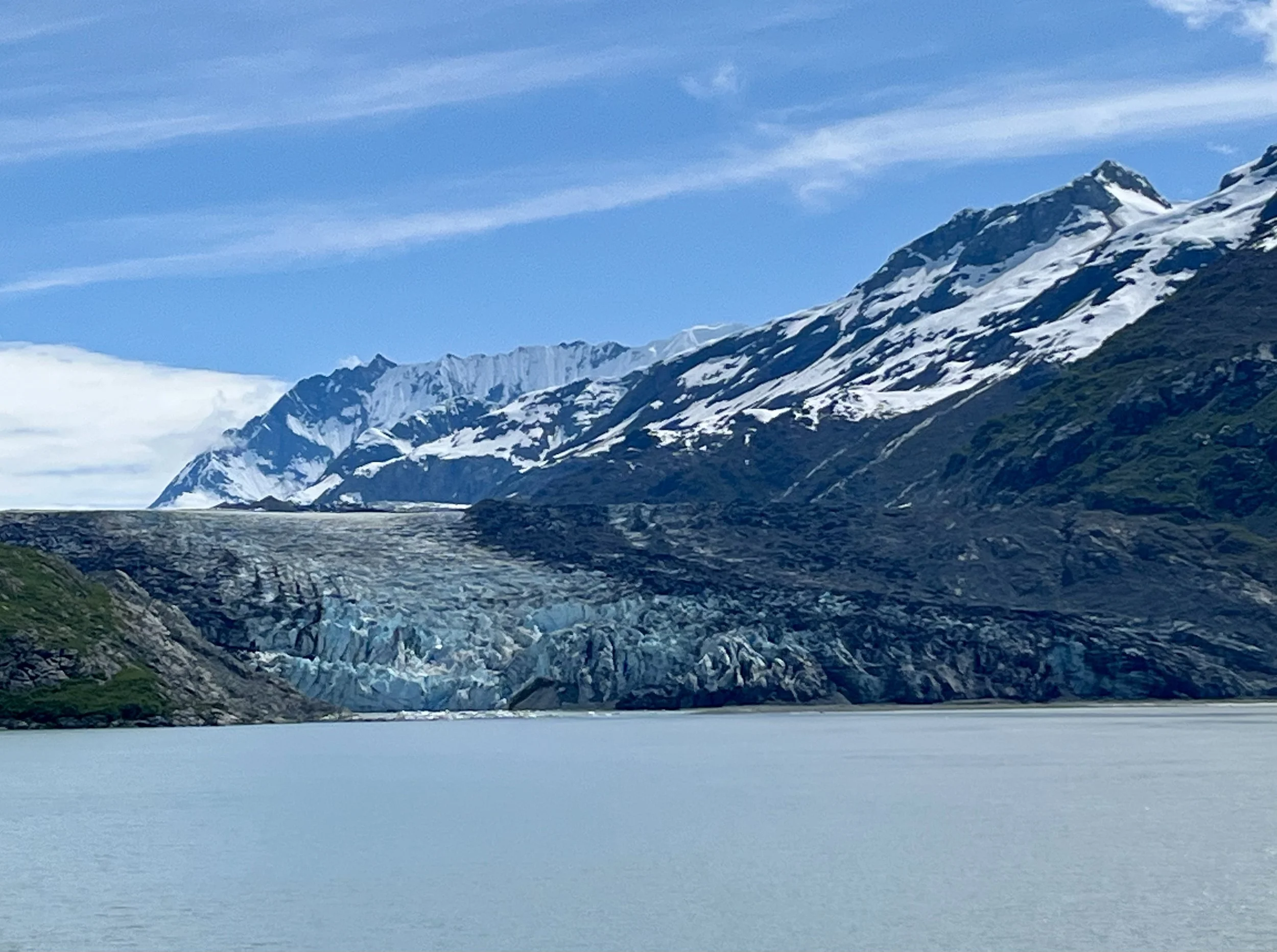
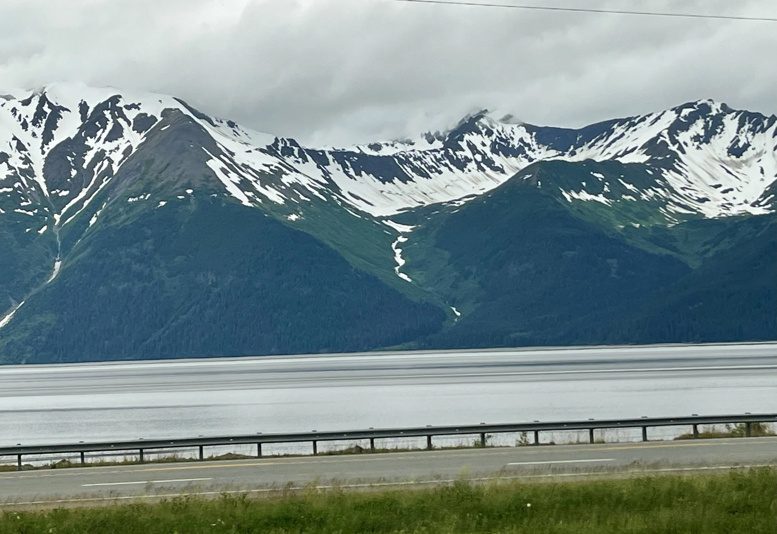
After breakfast, we started the morning with a water taxi ride to the Grace Ridge Trailhead.  Along the way we saw two puffins in the distance.  We also went by Gull Island that was of course full of gulls and murres .  Two bald eagles stood watch. When one of the eagles started to fly, all the other birds went into defensive motion.  The Merrs skimmed just along the water and the gulls flew high.  It was quite a spectacle.  We were dropped off at Sadie Cove Landing. When we hiked, the weather was rain off and on all day.  Under the thicker tree canopy we stayed relatively dry, but in other places the trail was wet and slick.  Just after I took off my raincoat, I fell sliding “up” an incline on the trail.  I got full of mud.  With zero traction for me to move myself up, Drew, our guide, pulled me up with my pole. I then commented, “I wonder how I’ll manage that going downhill on the way back.”  We hiked through the forest and then above the tree line.  I wasn’t sure I would’ve finished hiking the whole 4.5 miles with a 3200 elevation gain and the back down in the 8 hours allocated.  So when Alan and I reached 2400 feet of elevation gain and about 4 miles, we opted to stop there and start to head down on our own as the other hikers went for the top ridge line. We felt plenty safe on our own to start back down because Alan had a gps emergency beacon should we run into trouble until the other hikers caught back up to us. Alan also had his trusty bear bell, his bear horn , and two tour supplied cans of bear spray. We went slowly down, so the group did catch up to us. However, not before I reached that downhill muddy spot.  It didn’t go well.  I was halfway through that section and I slipped again, but this time I went backwards with my foot caught underneath me in the wrong direction, injuring my ankle.  We had cell signal on the mountain, so Alan texted our guide. Because they had already closed the gap so much, they were with us in just a few minutes.  Our guide, did an outstanding job wrapping my ankle and stabilizing my foot so I could walk out of the woods. What took everyone else about an hour to finish the hike took me about 3 hrs and twenty minutes. Without Alan’s help and encouragement, I don’t think I could have made it. We missed the scheduled water taxi back to our cabins, but Drew arranged for the cabin owners to pick us up. Unbeknownst to Alan and I, Drew had packed two cans of our beers in his pack so we could celebrate the longest hike of our trip.  Those celebratory beers had a whole new meaning!! It was a long day; I iced my foot and took a few tylenol with plans to go to a clinic the next day.

The view from outside our cabin.

The bald eagle sitting amongst the gulls and murres.

Jellyfish on the beach where we disembarked for our hike.

Along the trail.

We made it to the snow line!

Day 12 Cooper Landing and Homer (July 17th)

After breakfast we made a quick stop in Historic Hope and then onto a trailhead at Moose Pass for a few photo opportunities. From there we drove to Cooper Landing to begin a 13 mile floating raft ride with the Drifters Lodge and Rafting outfitter. There were a few small rapids, but it was mostly a quiet float. We had about five different eagle spottings including a pair that flew over head. At the end of the float, as we were getting off the water, we spotted a brown bear across the river from us. We took a water taxi to our cabin, and along the way our guide, Drew, bought oysters. Our cabin, at Hideaway Cove Wilderness Lodge, had running water but no electricity. It was so peaceful!

The shore alongside Historic Hope.

Moose Pass

A family of Merganser ducks.

This group of kayakers passed our raft; several miles down the river, one person in this group either slipped or fell out of his kayak. We found him climbing out of the river and his friends had recovered his kayak.

Fishermen could be found in several areas along the river

The brown bear is to the left and below the sea gull.

Taking a water taxi to our cabin.

Our guide jumped onto this farm stand to buy oysters.

Day 11 Girdwood and Hope (July 16th)

Sunrise was at 4:51 am in Wasilla. We started our van shuttle about 8:00am. On the way to today’s hike we made a stop at the Alaska Native Heritage Center in Anchorage. There were examples of each native people’s homes and ways of life, including the Athabascan, Yup‘Ik and Cup’Ik people, Inupiaq and St Lawrence Island Yupik people, and the Unangax and Alutiiq people. Their homes were built two to five feet below ground with earthen roofs of sod, moss and birch bark. The doorways were “l” or “j” shaped to keep the cold drafts and polar bears out. In some of the villages there were also larger community houses for work, planning, ceremonies and other activities. It was a very informative and enjoyable stop. Next we drove to Girdwood for a hike on the Winner Creek Trail. The trailhead was located behind the Altadena Resort (a ski resort). The hike was about a total of five miles (out and back). Just as we were to begin hiking, a tsunami warning was issued due to a 7.3 earthquake in the Gulf of Alaska. Our guide made phone calls and determined we were safe, as were the night’s lodging cabins. As we arrivedw at the half way point, it started to rain, but luckily it was light and we were mostly protected by the dense canopy. After the hike we drove to Hope where we stayed at the Bear Creek Lodge. Our cabin had electricity, but no water. Sunset was 11:11pm at the daytime temperatures were in the 50’s to mid 60’s.

A whale skeleton at the Alaska Native Heritage Center highlighting those Alaska Natives that hunted them for food and tools.

Example of an Athabascan home.

A community house. This entry way was added for viewing purposes as all openings were “L” or “J” shaped.

Along the Winner Trail.

Our guide found a small patch of salmon berries and we each tried one.These were slightly under ripe and therefore a little bitter.

This gorge was at our turn around point of the hike.

Alan walking our luggage to our cabin for the night. It reminded me of the “cart in” campgrounds in Minnesota.

Our cabin for the night was called Bridge Cabin. It had its own outhouse. Cabins closer to the main lodge had communal flush toilets.

A view of the sleeping area of our cabin. It had electricity, but no running water.

Each cabin had a small gift bear @bearcreeklodgeak

Day 10 Talkeetna & Wasilla (July 15th)

We started the day around 7am, with a delicious breakfast at the McKinley Creekside Cafe. We then loaded up into the van for about a 1.5 hour drive to Denali State Park near Talkeetna. We hiked the Curry Ridge Trail for just over seven miles. At the mid point of the hike we stopped for lunch. Our guide, Drew, worked his trail magic mimicking a Vietnamese style sandwich (or salad). Unfortunately, just as he started meal prep, it started raining. Everyone in the group donned their rain gear and made quick work of their food. After the hike we stopped for ice cream at the Kahiltna Birchworks. The store there sells unique birch syrup food products, including ice cream. Our overnight accommodations were in Wasilla at the Mat-Su Resort and dinner was at the Grape Tap Restaurant. The appetizers and main course was scrumptious; the desserts were out of this world. Several of us shared a deconstructed cheesecake and mudslide cake that tasted like a candy bar! The day started with temperatures in the mid-40’s and reached highs in the mid 60’s. Sunset was at 11:19pm.

Ruth Glacier in the top middle. Its upper reaches are approximately 3 vertical miles below the summit of Mt. Denali. The glacier's "Great Gorge" is one mile wide, and drops almost 2,000 feet over 10 miles. From the top of the cliffs to the bottom of the glacier is a height exceeding that of the Grand Canyon. Unfortunately, the clouds obstructed the views of Mt. Denali.

The restaurant that we went to for breakfast also had pastries. I had to snap a picture of the Texas cinnamon rolls (left) and the Alaskan options on the right.

This taped sign warned of a bear sow with three cubs spotted in the area the day before; we didn’t see the bears.

Some sample sections of the trail. At times the vegetation was almost as tall as some of the hikers in our group.

The tallest point on this days hike was just before we had lunch and looped back.

The clouds that passed over us with the rain showers during our lunch.

The ice cream stop.

The Mat-Su Resort. We had amazing views from our rooms.

The view from our room. Clouds are obstructing the top peaks of the mountains.

After the clouds lifted a bit, the view from a parking lot above the resort.

A helicopter landed on this small dock that was just outside the back door of our motel room.

Our room at the Mat-Su resort.

Day 9 Denali (July 14th)

An early morning bakery stop for breakfast was followed by an over three hour van ride to Denali National Park. The drive wasn’t supposed to take that long but road closures due to recent fire activity added drive time. Once in the park, we hiked the Rock Creek Trail (about 2.75 miles) to the kennels where the resident park sled dogs live. These are actual working dogs that provide transportation access in the winter months, including moving supplies for park staff. We were scheduled to hike back, but we shuttled instead to make up for time lost on the morning drive. Our guide prepared a charcuterie lunch. After lunch, Alan and I took a 43 mile bus ride as deep into Denali Park as is allowed. We had hoped to catch a view of Mt. Denali, but the cloud cover was not in our favor. We did see a moose that ran across the road in front of the bus, several caribou and even a few dall sheep. The sheep were very far off into the distance, but still visible without binoculars. Although our hike was cut short today, we had an amazing taste of Denali National Park.

Our guide Drew and me on the Rock Creek Trail.

A sled dog at the kennels.

Char took a liking to Alan.

Some of the treats at our charcuterie style lunch.

The moose running away from the bus.

A caribou at mile 43 of the bus ride into Denali.

The two white spots in the middle of the picture, about 2/3rds of the way down, are the dall sheep.

Our cabin in the woods for the night.

Day 8 - Travel Day (July 13th)

We officially departed the cruise ship in Vancouver in the early morning. First up was a shuttle to the Vancouver airport to rent a car, to drive to Seattle, to catch a flight back to Fairbanks to begin the hike portion of the adventure on Monday. Unlike clearing customs in Canada, the wait to get through the Canadian border into the U.S. was agonizingly long - at least an hour. On the plus side, the scenery on the drive to Seattle was beautiful.

The Vancouver port above and below.

The Peace Arch at the border of Canada and the U.S. It commemorates the signing of the Treaty of Ghent in 1814 and symbolizes a long history of peace between the two nations. The monument is built on the exact U.S.–Canada boundary, where I-5 on the U.S. side of the border becomes Hwy 99 on the Canadian side.

Also at the border within the Peace Arch Park.

On the flight to Fairbanks.

The water almost looks like jellyfish.

Day 7 Cruising the Inside Passage (July 12th)

The last day of the cruise was sailing through the Inside Passage along the coast of British Columbia. What was extra special was that the sun was shining!! After six days of overcast skies, the sun was such a bonus!

Day 6 Ketchikan (July 11th)

We arrived into Ketchikan in the late morning. However, before we went on our shore excursion, we enjoyed a couple’s massage courtesy of Alan’s daughter Lauren. It was a thank you to us for helping when baby Olive was born. It was super appreciated, with both of us feeling amazing at the conclusion of the massage. Afterwards we went to the Uncharted Alaska Distillery for a tour, learned how they created their spirits, followed by a unique opportunity to infuse our own alcohol. The co-owners are a retired Ketchikan fire chief and retired Ketchikan police chief, but young!! They retired after twenty years to start the second chapters of their lives. At the conclusion of our time at the distillery we opted to walk about town rather than do another excursion.

Upon disembarking the ship, we saw this monument called “The Rock.” It is a tip of the hat to Ketchikan's heritage, that tells the story of how Alaska's First City came to be. Six of the seven figures on the sculpture represents a prominent archetype in the city's history—a fisherman, a minor, a logger, a bush pilot, a frontierswoman, a Native drummer. The seventh represents an actual historical figure—Chief Johnson, a Tlingit who stands on top of The Rock.

Outside of the distillery - and yes the building used to be a fire station. The engines and equipment outgrew the facility leaving a perfect opportunity for clever entrepreneurs.

The still for fermentation.

More equipment in the process; the bottles of liquor on the shelf held various alcohols for us to try. The kelp vodka was tasty and smooth; a one-of-a-kind vodka. Alan and I both liked it. We also had a sneak preview of their rye, however they were planning to continue aging it in barrels for a bit longer.

Just before adding the dry botanicals, Alan had oak smoke added to his bottle.

My ingredients, along with orange peel, to be added to the base whiskey.

Our two bottles corked and sealed…and confiscated as we boarded our ship. They were returned at the end of the cruise to allow packing into luggage. The cruise line is strict about controlling “outside” alcohol consumed while cruising.

Two of the over eighty totem poles located throughout greater Ketchikan.

A fish ladder for salmon located near downtown Ketchikan.

Scenes from the stroll around town.

Day 5 Juneau (July 10th)

We cruised into Juneau this morning. The temperature was 47 degrees with a feels like a bit cooler and a 10mph ESE wind. It was another cloudy day with off and on rain. We had a “triple” shore excursion today that started with a visit to Mendenhall Glacier within the Tongass National Forest, whale watching, and a delicious lunch at the Orca Point Lodge on Colt Island. Not only did we see spectacular views of Mendenhall Glacier, we were able to hike to Nugget Falls and experience them only steps away. If it weren’t so cold, the spray would have been refreshing. Mendenhall is considered a mountain glacier and is about 13.6 miles long. The tour company allotted 65 minutes at this stop. Alan and I wanted to do two hikes that totaled 2.3 miles total. The visitor information advised it would take 1 hr 35 minutes to walk both trails and have time for viewing. We walked fast and were rewarded with stunning views. After visiting the glacier, we moved to the oceanfront and boarded a boat for whale watching. I probably took over 150 pictures and still couldn’t capture the magic of seeing a whale (or two together), blow/exhale, slightly surface and then dive with its tail the last to enter the water. Several of our sightings included two whales together - almost certainly a mother and calf. We also witnessed a bald eagle soar by. After about two hours of whale watching, we motored by boat for lunch at the Orca Point Lodge. The food was delicious; the salmon chowder was the best of the trip so far and the butternut squash was as creamy as, and tasted like, pumpkin pie! Add a small salmon filet, a sample of local steak, sourdough bread baked locally, more sides and it was a feast! Alan and I also sampled four beers from Forbidden Peak Brewery.

Along the trail to Nugget Falls.

This is one of my favorite photos.

Nugget Falls.

Another view of Mendenhall Glacier as the sun peaked out for a few minutes.

Two whales as they dove beneath the surface.

A different whale with a better view of a tail.

The whale watching boat docked at Orca Point Lodge.

Orca Point Lodge.

Alan and I shared a flight of these local brews. For the non-beer drinkers, a flight is usually 3 or 4 three ounces pours. Four samples would be the equivalent of one beer.

Flowers outside the lodge.

Day 4 Skagway (July 9th)

Today we arrived at the Skagway port. The temperature hovered between 52-54 degrees all day, however with the wind, it always felt like it was in the 40’s.  We also were able to do our first shore excursion: The White Pass Rail Summit and Gold Panning in partnership with the History Channel.  The summit is 2,888 feet and is at the border between Alaska and British Columbia.  We continued on to Fraser, BC for a total of 27.7 miles by train. Once there, we boarded motor coaches to return us to Skagway. During the about two hour train ride, a narrator shared the history of the region.  We saw waterfalls among the mountains.  There was no wildlife to be seen due to the unsuitable topography (no food ). At the conclusion of the train/motorcoach ride we panned for gold. It was a controlled event where everyone was guaranteed to find a few gold “flakes” in their pan. I needed help getting the non-gold sand and pebbles out of my pan and Alan needed a second pan (he must have washed his first gold flakes out). In the end, our combined gold weighed enough to value a little over $42. After panning for gold, we all enjoyed a BBQ lunch. Following the end of the activities, Alan and I wandered Skagway and visited two local breweries.

Our train entering one of two tunnels on the day’s route.

The Skagway River.

An abandoned bridge, now called the “ghost bridge,” as it seems to appear amongst the clouds.

The “border” between the U.S and Canada.

Near the summit.

At the summit, there were remnants of old phone (or telegraph) lines. Only a few poles remained.

My few gold flakes are at the top of the pan.

Three of Alan’s four gold flakes.

A view from above Skagway. There were four ships in port. Ours was the second from right.

A couple of flights at the Klondike Brewery.

Herman Kirmse was one early successful entrepreneur in Skagway. In 1897 Kirmse opened a jewelry and watch repair shop. The mountain side has a tribute with a watch-face and time of 8:17.

An interesting building facade.

The tradition continues with a photo of the Skagway Post Office.

Day 3 Glacier Bay National Park (July 8th)

After leaving the Hubbard Glacier area yesterday, we cruised to Glacier Bay National Park. Today was another day of “cruising only,” with no available shore excursions. The captain cruised 65 miles through the Park so that we could view numerous glaciers. During mid-day we had a “group” lunch with 24 guests that were all part of this West of The Moon travel agency outing. Besides the hosts Randy and Owen, we knew a few of the others and made new friends. While cruising the bay, an NPS ranger narrated, and if you had your National Park Passport, you could get your stamp for this national park. In the evening, Alan and I saw several whales spouting, but we didn’t see any breeches so we couldn’t snap any pictures.

Cruising to Glacier Bay

Reid Glacier is 11 miles long.

Another cruise ship was leaving the bay as we entered.

Margerie Glacier is a 21 mile long tidal glacier. A tidal glacier terminates at the end of the ocean and tends to calve, which is where large pieces of ice break off from the glacier's front and fall into the water, forming icebergs.

Lamplugh Glacier is eight miles long. The NPS park ranger narrating this day shared that park rangers were able to visit this glacier by land which was a truly unique experience for them.

Day 2 Cruising to Hubbard Glacier (July 7th)

Today is the first “cruising only” day as we make our way from Whittier to the next port stop in Skagway, Alaska. The cruise ship offers a wide variety of activities to keep you busy, such as stretching exercises in the fitness center, origami folding, trivia challenges and pickle ball tournaments. We opted for self-paced fitness center activities and relaxation. I also attended a short watercolor class attempting to paint a jellyfish. Let’s just say I need practice :-) When we entered Disenchantment Bay, in an attempt to get great photos, Alan and I kept moving from port to starboard numerous times. Unbeknownst to us, as we made our way back to our room the ship turned and our best view was directly outside of our room!

Hubbard Glacier is a tidewater (or tidal) glacier. It is the largest tidewater glacier in North America at 7 miles wide and 76 miles long.

Our friends Owen and Randy were on the only excursion of the day that took them up to face of the glacier - they signed up for that excursion seven months ago!

To give some perspective to the size of the glacier, the arrow is pointing to the excursion boat (from the above picture).

If you try really hard, you can see a sea lion on this piece of floating ice. I zoomed as much as I could with my phone and didn’t realize I was no longer centered, thus the far left orientation.

The view from our room as the ship turned.

This sunset photo was taken at 10:11pm.

Our room and veranda. With overcast skies (occasional rain) and temperatures in the 50’s with “feels like” in the forties, we haven’t sat outside yet.

Day 1 Anchorage to Whittier (July 6th)

We started the day with temperatures in the upper 50’s. After breakfast at the Aviator Hotel (also known as the Wildbirch), we walked around downtown Anchorage. Shortly before noon we took a quick shuttle to the local train station for a couple hour rail journey to Whittier. Unfortunately, we didn’t see any wildlife, but we were treated to amazing mountain views until the clouds appeared.

Girdwood

Ran into a local in downtown Anchorage.

The train from Anchorage to Whittier.

While traveling on the train, I tried a local amber and Alan had the IPA.

Our cruising ship ,the Nieuw Amsterdam, in the Whittier port. When we arrived, the temperature was now only in the mid-forties.

Pre Cruise & Hike (July 5th)

Alan and I started the trip, leaving home on July 5th at 9:00am, for Alaska. Just one, several hour, layover in Minneapolis and then arrived in Anchorage around 9pm (or 1:00am back home). There was still plenty of daylight at our arrival time. I managed to look out my window at just the right time and captured some mountain tops before the clouds took over.

Donjek Glacier from 32,000 feet.

Walsh Glacier

Chitina Glacier

Big Lake in the background.

Knik - Trapper Creek

Point MacKenzie

As we approached this area, I could not tell what this “line” in landscape was. Then the realization - power line corridor.